Cof Cymru: National Historic Assets of Wales · Wales
The Star Public House
Maesteg, Bridgend, Wales
A Grade II listed building in Maesteg, Bridgend, designated on 14 July 1997.
The record
- Designation
- Listed building, Grade II
- Broad class
- Commercial
- Date of designation
- 14 July 1997
- Locality
- Maesteg
- Town
- Maesteg
- Community
- Maesteg
- Unitary authority
- Bridgend
- Country
- Wales
- Coordinates
- 51.60837, -3.66041
- Cadw reference
- 18506
Slide toward Today to fade the historical sheet and see the modern map underneath.
David Rumsey Map Collection, Stanford LibrariesDavid Rumsey Map Collection, Stanford LibrariesDavid Rumsey Map Collection, Stanford LibrariesDavid Rumsey Map Collection, Stanford LibrariesDavid Rumsey Map Collection, Stanford Libraries
5 historical maps cover this location, the earliest the 1636 map "Cornubia : Devonia, Somersetus, Dorcestria, Wiltonia, Glocestria ..." (David Rumsey Map Collection, Stanford Libraries).
Historical maps covering this location
- 1636 · Cornubia : Devonia, Somersetus, Dorcestria, Wiltonia, Glocestria ... (David Rumsey Map Collection, Stanford Libraries)
- 1637 · The fourth table of England. Cornub. Devonia, Somerset etc. (David Rumsey Map Collection, Stanford Libraries)
- 1830 · V.3:11-15:XV. Britisches Reich. A. Kon: England. b. Frstenthum Wales: Shire: 37-40 (David Rumsey Map Collection, Stanford Libraries)
- 1865 · England and Wales. England No. 6. (David Rumsey Map Collection, Stanford Libraries)
- 1907 · 248 Pontypridd (Hills) (David Rumsey Map Collection, Stanford Libraries)
Cadw's description
Location
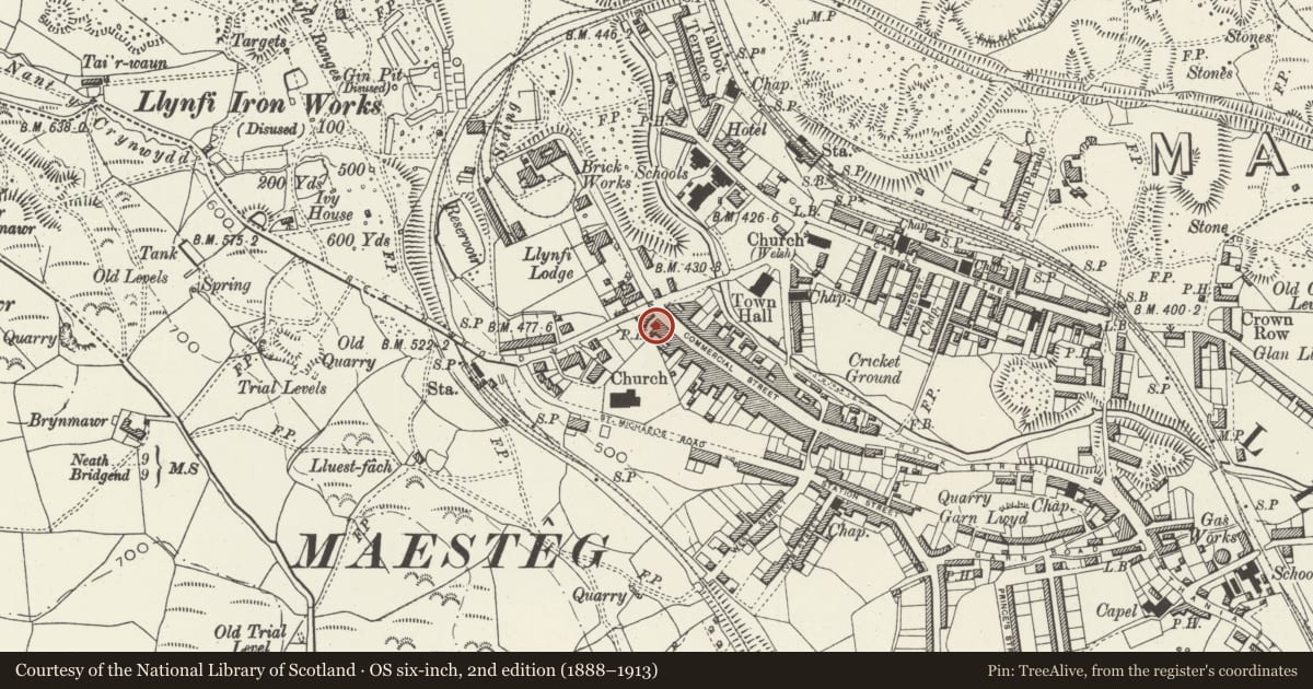
Located near the corner of Commercial Road with Neath Road in the commercial centre of Maesteg.
History
Built by David Harris between 1897 and 1901 as a public house and hotel.
Exterior
Built of red brick with stone dressings, now painted. Slate roof. Three storeys. The entrance is set on the N angle, with a projecting bay window on the first floor forming a canopy to the double panelled dors on the ground floor, and supported by corbels and iron columns. The elevation to Commercial Road is of 4 bays, with a gable in the third, emphasised by an arched opening on the ground floor. Canted oriel on the first floor over, and pedimented window under the gable, its apex crowned with a terminal block carved with a star motif on each face. Triple arch-headed windows to the ground floor. [the S end has been altered by an inserted modern shop front], and paired arch-headed windows with surrounds and cornice on the first floor. Wide architrave to the second floor windows. Over the door bay, an inscription on an inset painted curved face reads STAR / HOTEL / 1901.
Reason for designation
Included as a robustly designed hotel and public house which retains much of its original character, and important in its context at the road junction with Neath Road and Talbot Street.
Nearby in the register
- Church of St Michael and All Angels, Llangynwyd with Maesteg, including enclosing graveyard wall.Religious, Ritual and Funeraryunder 1 mi
- Maesteg Council Offices, with flanking walls and piers.Civilunder 1 mi
- Neuadd y Dref (Town Hall )Civilunder 1 mi
- William Hopkin Thomas memorial Lamp and fountain.Commemorativeunder 1 mi
Other entries of the same register within about three miles of this one, by straight line.