Cof Cymru: National Historic Assets of Wales · Wales
18 Penybryn Road
Bethesda, Gwynedd, Wales
A Grade II listed building in Bethesda, Bangor, Gwynedd, designated on 25 April 1997.
The record
- Designation
- Listed building, Grade II
- Broad class
- Domestic
- Date of designation
- 25 April 1997
- Locality
- Bethesda
- Town
- Bangor
- Community
- Bethesda
- Unitary authority
- Gwynedd
- Country
- Wales
- Coordinates
- 53.18082, -4.05897
- Cadw reference
- 18416
Slide toward Today to fade the historical sheet and see the modern map underneath.
David Rumsey Map Collection, Stanford LibrariesDavid Rumsey Map Collection, Stanford LibrariesDavid Rumsey Map Collection, Stanford LibrariesDavid Rumsey Map Collection, Stanford LibrariesDavid Rumsey Map Collection, Stanford Libraries
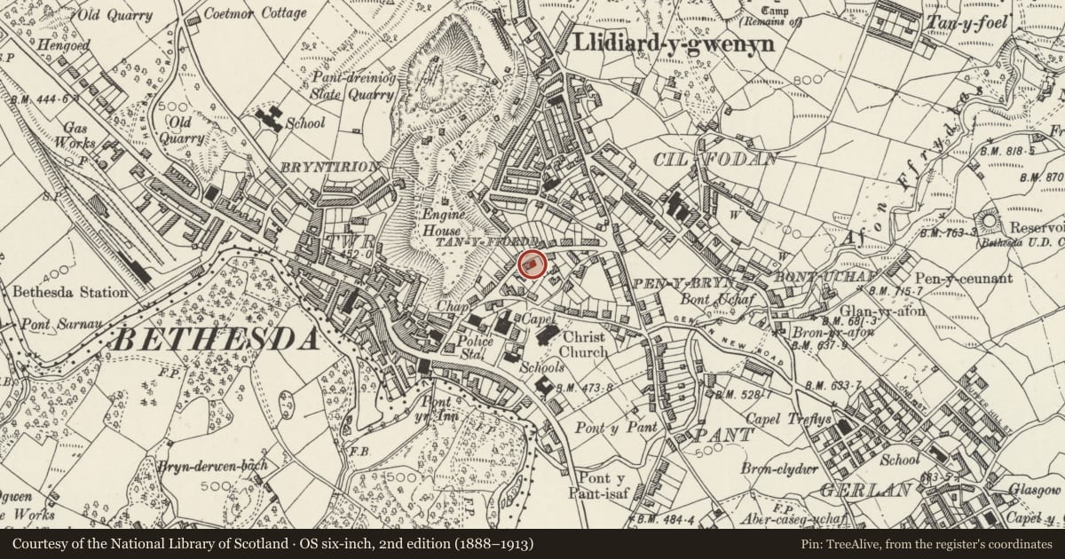
5 historical maps cover this location, the earliest the 1896 map "Sheet 7. Ordnance Survey of England and Wales." (David Rumsey Map Collection, Stanford Libraries).
Historical maps covering this location
- 1896 · Sheet 7. Ordnance Survey of England and Wales. (David Rumsey Map Collection, Stanford Libraries)
- 1899 · 106 Bangor (Hills) (David Rumsey Map Collection, Stanford Libraries)
- 1899 · 106 Bangor (Outline) (David Rumsey Map Collection, Stanford Libraries)
- 1901 · Sheet 9 and 10. (David Rumsey Map Collection, Stanford Libraries)
- 1919 · Sheet 41. Anglesey. (David Rumsey Map Collection, Stanford Libraries)
Cadw's description
Location
Situated on SE side of street, the second pair of semi-detached houses from the lower end.
History
Mid C19 pair of houses, presumably built for slate quarry workers, the best surviving pair of a localised type found only in the Penybryn area of Bethesda.
Exterior
Has 5-panel door and overlight and original slate front wall with four piers, low iron railings and iron gate.
Reason for designation
The only unaltered pair of a mid C19 estate house type.
Nearby in the register
- Capel JerusalemReligious, Ritual and Funeraryunder 1 mi
- Christ ChurchReligious, Ritual and Funeraryunder 1 mi
- The War Memorial and surrounding wall.Commemorativeunder 1 mi
- 17 Ogwen TerraceDomesticunder 1 mi
Other entries of the same register within about three miles of this one, by straight line.