Cof Cymru: National Historic Assets of Wales · Wales
Cae'rberllan
Bethesda, Gwynedd, Wales
A Grade II listed building in Braichmelyn, Bangor, Bethesda, Gwynedd, designated on 25 April 1997.
The record
- Designation
- Listed building, Grade II
- Broad class
- Domestic
- Date of designation
- 25 April 1997
- Locality
- Braichmelyn
- Town
- Bangor
- Community
- Bethesda
- Unitary authority
- Gwynedd
- Country
- Wales
- Coordinates
- 53.17416, -4.05563
- Cadw reference
- 18408
Slide toward Today to fade the historical sheet and see the modern map underneath.
David Rumsey Map Collection, Stanford LibrariesDavid Rumsey Map Collection, Stanford LibrariesDavid Rumsey Map Collection, Stanford LibrariesDavid Rumsey Map Collection, Stanford LibrariesDavid Rumsey Map Collection, Stanford Libraries
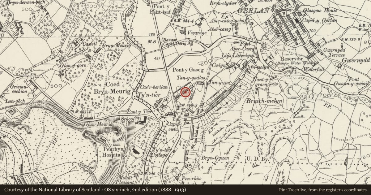
5 historical maps cover this location, the earliest the 1896 map "Sheet 7. Ordnance Survey of England and Wales." (David Rumsey Map Collection, Stanford Libraries).
Historical maps covering this location
- 1896 · Sheet 7. Ordnance Survey of England and Wales. (David Rumsey Map Collection, Stanford Libraries)
- 1899 · 106 Bangor (Hills) (David Rumsey Map Collection, Stanford Libraries)
- 1899 · 106 Bangor (Outline) (David Rumsey Map Collection, Stanford Libraries)
- 1901 · Sheet 9 and 10. (David Rumsey Map Collection, Stanford Libraries)
- 1919 · Sheet 41. Anglesey. (David Rumsey Map Collection, Stanford Libraries)
Cadw's description
Location
Situated some 600m S of centre of Bethesda, at right angles to A5 backing on to lower slopes of hillside.
History
Mid C19 terrace of twelve single-storey two-room cottages built for slate workers. Similar to the group 7-63 Braichmelyn behind and various isolated pairs or single examples elsewhere in Bethesda.
Exterior
C20 dry-dash cladding, original small-paned casements.
Reason for designation
The best surviving row of typical single storey quarry-workers houses in the region.
Nearby in the register
- Cae'rberllanDomesticunder 1 mi
- Cae'rberllanDomesticunder 1 mi
- Cae'rberllanDomesticunder 1 mi
- Cae'rberllanDomesticunder 1 mi
Other entries of the same register within about three miles of this one, by straight line.