Cof Cymru: National Historic Assets of Wales · Wales
Former Goods Shed
Prestatyn, Denbighshire, Wales
A Grade II listed building in Prestatyn, Denbighshire, designated on 31 January 1997.
The record
- Designation
- Listed building, Grade II
- Broad class
- Transport
- Date of designation
- 31 January 1997
- Locality
- Prestatyn
- Community
- Prestatyn
- Unitary authority
- Denbighshire
- Country
- Wales
- Coordinates
- 53.33648, -3.40563
- Cadw reference
- 18159
Slide toward Today to fade the historical sheet and see the modern map underneath.
David Rumsey Map Collection, Stanford LibrariesDavid Rumsey Map Collection, Stanford LibrariesDavid Rumsey Map Collection, Stanford LibrariesNational Library of ScotlandNational Library of Scotland
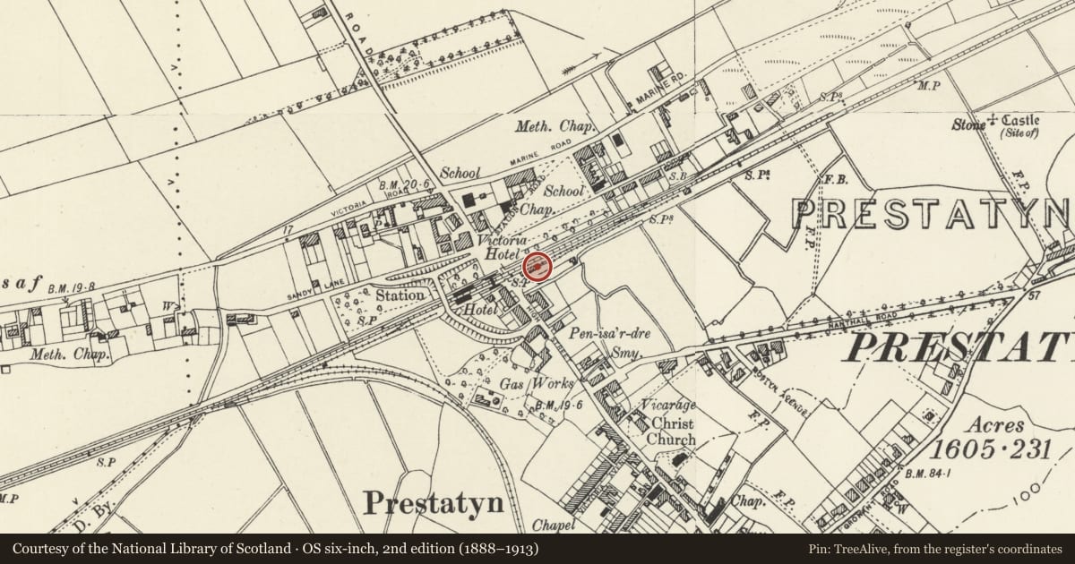
5 historical maps cover this location, the earliest the 1883 map "Watershed map England, Wales 3." (David Rumsey Map Collection, Stanford Libraries).
Historical maps covering this location
- 1883 · Watershed map England, Wales 3. (David Rumsey Map Collection, Stanford Libraries)
- 1885 · OS One-Inch (Hills) 1885-1903 (National Library of Scotland)
- 1898 · 95 Rhyl (Hills) (David Rumsey Map Collection, Stanford Libraries)
- 1901 · Sheet 9 and 10. (David Rumsey Map Collection, Stanford Libraries)
- 1930 · OS Popular Edition 1919-1947 (National Library of Scotland)
Cadw's description
Location
At south side of railway line, east of present railway station, reached via yard at east of High Street
History
Built in 1848 for the Chester and Holyhead Railway. The architect was Francis Thompson of Derby.
Exterior
An engine shed in irregularly coursed local limestone with brick corner pilasters; roof slopes now covered in bituminous felt, which also covers rooflights in the south slope. The top part of the wall masonry and also the half-metre of the masonry at each gable is corbelled forward. Engine doorway at east side at railtrack level with brick jambs and a concrete lintel. Tall doorway from yard at centre of south elevation, also with brick jambs, over which the south roof is continued down as a canopy supported by timber struts. Brick piers built into north elevation (facing track), with small doorway between.
Interior
Timber king-post roof with diagonal bracing.
Reason for designation
Listed as a well preserved mid C19 engine shed and for group value with the adjacent station.
Nearby in the register
- Old StationTransportunder 1 mi
- Christ Church VicarageDomesticunder 1 mi
- Lychgate at Christ ChurchReligious, Ritual and Funeraryunder 1 mi
- War Memorial at Christ ChurchCommemorativeunder 1 mi
Other entries of the same register within about three miles of this one, by straight line.