Cof Cymru: National Historic Assets of Wales · Wales
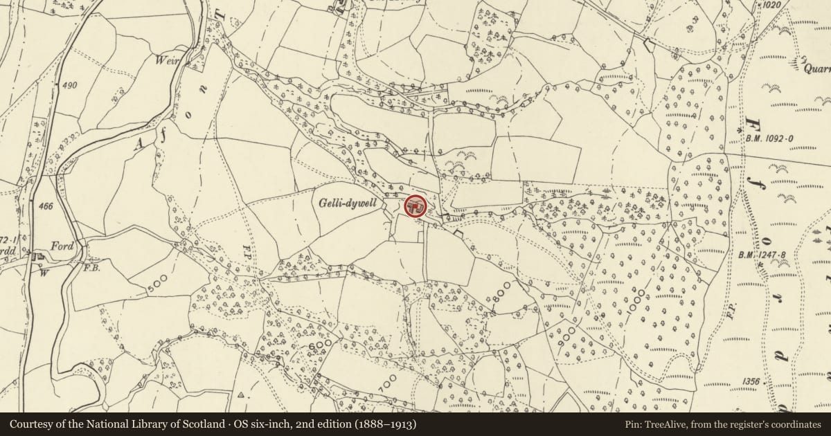
Estate farm building at Gellidywyll
Llanbrynmair, Powys, Wales
A Grade II listed building in Bont Dolgadfan, Llanbrynmair, Powys, designated on 31 January 1997.
The record
- Designation
- Listed building, Grade II
- Broad class
- Agriculture and Subsistence
- Date of designation
- 31 January 1997
- Locality
- Bont Dolgadfan
- Community
- Llanbrynmair
- Unitary authority
- Powys
- Country
- Wales
- Coordinates
- 52.57532, -3.64116
- Cadw reference
- 18124
Slide toward Today to fade the historical sheet and see the modern map underneath.
David Rumsey Map Collection, Stanford LibrariesLlyfrgell Genedlaethol Cymru – The National Library of WalesDavid Rumsey Map Collection, Stanford LibrariesDavid Rumsey Map Collection, Stanford LibrariesDavid Rumsey Map Collection, Stanford Libraries
5 historical maps cover this location, the earliest the 1608 map "(13) Cambriae Typus." (David Rumsey Map Collection, Stanford Libraries).
Historical maps covering this location
- 1608 · (13) Cambriae Typus. (David Rumsey Map Collection, Stanford Libraries)
- 1637 · Particular description of Wales. Cambria seu Wallia (David Rumsey Map Collection, Stanford Libraries)
- 1795 · To Sir Watkin Williams-Wynn Bart ... the map of the six counties of North Wales is most… (Llyfrgell Genedlaethol Cymru – The National Library of Wales)
- 1830 · V.3:11-15:XV. Britisches Reich. A. Kon: England. b. Frstenthum Wales: Shire: 37-40 (David Rumsey Map Collection, Stanford Libraries)
- 1883 · Watershed map England, Wales 3. (David Rumsey Map Collection, Stanford Libraries)
Cadw's description
Location
The building is located at the end of a short branch off the road to Rhiwgen, immediately beyond and below the former farmhouse of Gellidwyll.
History
Built c.1900-1910 by the Winteringham Stable Estate to replace older farm buildings on the site, as part of the estate's adopted policy of bringing the estate farms of the district up-to-date.
Exterior
A long range of cow-houses, rubble stonework with a timber framed upper level infilled with highly fired red brick on edge. Slate roof. Five bays, gabled at each end. Timber stable doors and paned ventilating windows, and doors to tallet in gables. Interior has brick cross walls dividing the building into bays, with fodder storage in the tallet above.
Reason for designation
Included as a well detailed example of the improved agricultural buildings provided by the Estate, and important to the setting of the adjoining house Gellidwyll.
Nearby in the register
- GellidywyllDomesticunder 1 mi
- Barn at rear of Minfordd CottagesAgriculture and Subsistenceunder 1 mi
- Bron-derw-goedDomesticunder 1 mi
- Bont Pandy mill and mill house, formerly known as Gelli-dymyll Mill.Industrialunder 1 mi
Other entries of the same register within about three miles of this one, by straight line.