Cof Cymru: National Historic Assets of Wales · Wales
2 Sycamore Terrace
Llanwnnen, Ceredigion, Wales
A Grade II listed building in Llanwnnen, Lampeter, Ceredigion, designated on 20 December 1996.
The record
- Designation
- Listed building, Grade II
- Broad class
- Domestic
- Date of designation
- 20 December 1996
- Locality
- Llanwnnen
- Town
- Lampeter
- Community
- Llanwnnen
- Unitary authority
- Ceredigion
- Country
- Wales
- Coordinates
- 52.10390, -4.14359
- Cadw reference
- 18087
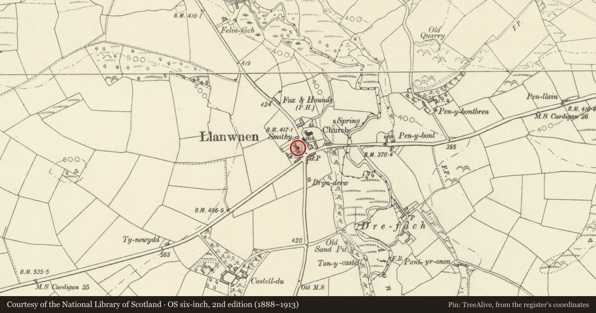
Slide toward Today to fade the historical sheet and see the modern map underneath.
David Rumsey Map Collection, Stanford LibrariesDavid Rumsey Map Collection, Stanford LibrariesDavid Rumsey Map Collection, Stanford LibrariesDavid Rumsey Map Collection, Stanford LibrariesDavid Rumsey Map Collection, Stanford Libraries
5 historical maps cover this location, the earliest the 1608 map "(13) Cambriae Typus." (David Rumsey Map Collection, Stanford Libraries).
Historical maps covering this location
- 1608 · (13) Cambriae Typus. (David Rumsey Map Collection, Stanford Libraries)
- 1830 · V.3:11-15:XV. Britisches Reich. A. Kon: England. b. Frstenthum Wales: Shire: 37-40 (David Rumsey Map Collection, Stanford Libraries)
- 1899 · 195 Lampeter (Hills) (David Rumsey Map Collection, Stanford Libraries)
- 1901 · Sheet 14. (David Rumsey Map Collection, Stanford Libraries)
- 1919 · Sheet 78. Lampeter. (David Rumsey Map Collection, Stanford Libraries)
Cadw's description
Location
Situated set back from W side of B4337 just N of cross-roads in Llanwnnen village.
History
One of two pairs of earlier C19 houses, in late Georgian style. Marked on 1844 Tithe Map, as owned by Thomas Hughes of Castell-du and occupied by Jacob Evans and others.
Exterior
Has original plank door.
Reason for designation
Included with numbers 4 and 5 as an unusual formally-planned group, also including Llanwnnen Post Office and Llanwnnen Church.
Nearby in the register
- 1 Sycamore TerraceDomesticunder 1 mi
- 4 Sycamore TerraceDomesticunder 1 mi
- Llanwnnen Post OfficeCommunicationsunder 1 mi
- 5 Sycamore TerraceDomesticunder 1 mi
Other entries of the same register within about three miles of this one, by straight line.