Cof Cymru: National Historic Assets of Wales · Wales
Statue of Queen Victoria
Offa, Wrexham, Wales
A Grade II listed building in Parciau, Offa, Wrexham, designated on 31 January 1994.
The record
- Designation
- Listed building, Grade II
- Broad class
- Commemorative
- Date of designation
- 31 January 1994
- Locality
- Parciau
- Community
- Offa
- Unitary authority
- Wrexham
- Country
- Wales
- Coordinates
- 53.04421, -3.00156
- Cadw reference
- 1798
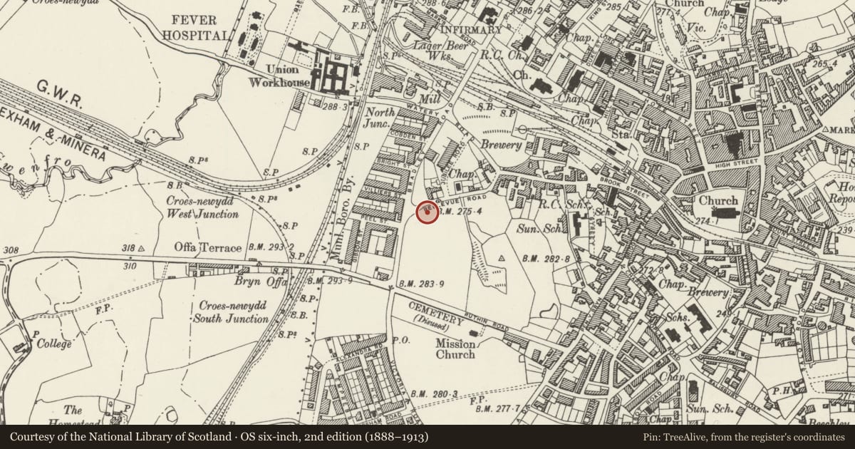
Slide toward Today to fade the historical sheet and see the modern map underneath.
David Rumsey Map Collection, Stanford LibrariesDavid Rumsey Map Collection, Stanford LibrariesDavid Rumsey Map Collection, Stanford LibrariesDavid Rumsey Map Collection, Stanford LibrariesLlyfrgell Genedlaethol Cymru – The National Library of Wales
5 historical maps cover this location, the earliest the 1795 map "To Sir Watkin Williams-Wynn Bart ... the map of the six counties of North Wales is most humbly inscribed by his obedient humble servant" (Llyfrgell Genedlaethol Cymru – The National Library of Wales).
Historical maps covering this location
- 1795 · To Sir Watkin Williams-Wynn Bart ... the map of the six counties of North Wales is most… (Llyfrgell Genedlaethol Cymru – The National Library of Wales)
- 1883 · Watershed map England, Wales 3. (David Rumsey Map Collection, Stanford Libraries)
- 1898 · 121 Wrexham (Hills) (David Rumsey Map Collection, Stanford Libraries)
- 1898 · 121 Wrexham (Outline) (David Rumsey Map Collection, Stanford Libraries)
- 1901 · Sheet 9 and 10. (David Rumsey Map Collection, Stanford Libraries)
Cadw's description
Location
Situated in the corner of the park bounded by Bradley Road and Belle-Vue Road.
History
Statue, dated 1904, and originally sited outside the Guildhall in Chester Street. Signed by Henry Price.
Exterior
Ashlar base and bronze figure. The high base has a raised band with raised lettering, 'Victoria 1819-1901', and the bronze figure carried an orb and sceptre.
Nearby in the register
- Former Crossing Keeper's Cottage at Croesnewydd North ForkDomesticunder 1 mi
- Former Island Green Brewery including Former MalthouseIndustrialunder 1 mi
- Wat's Dyke : Section South of Ruthin RoadLinear Earthworkunder 1 mi
- The Old Three Tuns Public HouseCommercialunder 1 mi
Other entries of the same register within about three miles of this one, by straight line.