Cof Cymru: National Historic Assets of Wales · Wales
Gates and Railings to Penylan
Beulah, Ceredigion, Wales
A Grade II listed building in Llandygwydd, Beulah, Ceredigion, designated on 15 March 1996.
The record
- Designation
- Listed building, Grade II
- Broad class
- Domestic
- Date of designation
- 15 March 1996
- Locality
- Llandygwydd
- Community
- Beulah
- Unitary authority
- Ceredigion
- Country
- Wales
- Coordinates
- 52.06560, -4.57820
- Cadw reference
- 17961
Slide toward Today to fade the historical sheet and see the modern map underneath.
David Rumsey Map Collection, Stanford LibrariesDavid Rumsey Map Collection, Stanford LibrariesDavid Rumsey Map Collection, Stanford LibrariesDavid Rumsey Map Collection, Stanford LibrariesDavid Rumsey Map Collection, Stanford Libraries
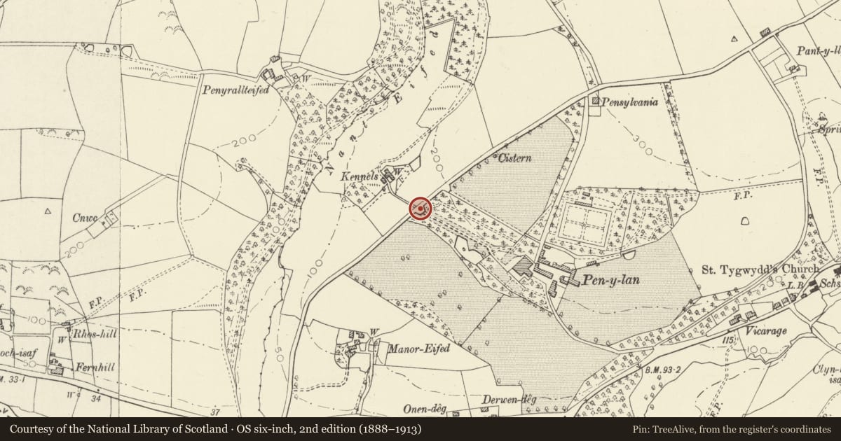
5 historical maps cover this location, the earliest the 1608 map "(13) Cambriae Typus." (David Rumsey Map Collection, Stanford Libraries).
Historical maps covering this location
- 1608 · (13) Cambriae Typus. (David Rumsey Map Collection, Stanford Libraries)
- 1636 · Cornubia : Devonia, Somersetus, Dorcestria, Wiltonia, Glocestria ... (David Rumsey Map Collection, Stanford Libraries)
- 1830 · V.3:11-15:XV. Britisches Reich. A. Kon: England. b. Frstenthum Wales: Shire: 37-40 (David Rumsey Map Collection, Stanford Libraries)
- 1899 · 194 Llangranog (Hills) (David Rumsey Map Collection, Stanford Libraries)
- 1919 · Sheet 78. Lampeter. (David Rumsey Map Collection, Stanford Libraries)
Cadw's description
Location
Situated on E side of lane from A 484 to Neuadd Cross, some 500m N of A 484.
History
Mid C19 gates and railings to Penylan mansion, which was rebuilt in 1854 for Morgan Jones. Semi-circle with centre gates and pedestrian gates.
Exterior
Whitewashed Cilgerran stone with iron gates and railings. Semi-circular plan with two pairs of piers at centre and single outer pier each end. Piers are rusticated with fluted friezes, cornices and pyramid caps. Outer walls are low with stone coping. Gates have spearhead rails, strengthening bars and dog-bars. Centre pair and small pedestrian gate each side. Outer walls have low spearhead rails.
Reason for designation
Listed as an imposing drive entry to an important gentry house.
Nearby in the register
- PenylanDomesticunder 1 mi
- Coach-House to E of PenylanAgriculture and Subsistenceunder 1 mi
- Oakhill, PenylanAgriculture and Subsistenceunder 1 mi
- ManoreifedDomesticunder 1 mi
Other entries of the same register within about three miles of this one, by straight line.