Cof Cymru: National Historic Assets of Wales · Wales
Former Haybarn to Outer Yard
Marchwiel, Wrexham, Wales
A Grade II listed building in Erddig, Marchwiel, Wrexham, designated on 7 June 1963.
The record
- Designation
- Listed building, Grade II
- Broad class
- Domestic
- Date of designation
- 7 June 1963
- Locality
- Erddig
- Community
- Marchwiel
- Unitary authority
- Wrexham
- Country
- Wales
- Coordinates
- 53.02616, -3.00636
- Cadw reference
- 17852
Slide toward Today to fade the historical sheet and see the modern map underneath.
David Rumsey Map Collection, Stanford LibrariesDavid Rumsey Map Collection, Stanford LibrariesDavid Rumsey Map Collection, Stanford LibrariesDavid Rumsey Map Collection, Stanford LibrariesLlyfrgell Genedlaethol Cymru – The National Library of Wales
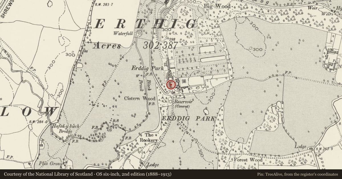
5 historical maps cover this location, the earliest the 1795 map "To Sir Watkin Williams-Wynn Bart ... the map of the six counties of North Wales is most humbly inscribed by his obedient humble servant" (Llyfrgell Genedlaethol Cymru – The National Library of Wales).
Historical maps covering this location
- 1795 · To Sir Watkin Williams-Wynn Bart ... the map of the six counties of North Wales is most… (Llyfrgell Genedlaethol Cymru – The National Library of Wales)
- 1883 · Watershed map England, Wales 3. (David Rumsey Map Collection, Stanford Libraries)
- 1898 · 121 Wrexham (Hills) (David Rumsey Map Collection, Stanford Libraries)
- 1898 · 121 Wrexham (Outline) (David Rumsey Map Collection, Stanford Libraries)
- 1901 · Sheet 9 and 10. (David Rumsey Map Collection, Stanford Libraries)
Cadw's description
Location
Attached to the S side of the stableblock at Erddig and forming the W range of the outer yard, to S of the house.
History
Originally built as a haybarn, probably late C18 or early C19 postdating the stables, the building was altered possibly C19 to form storage and cartsheds. Partially converted to shop and cafe late C20.
Exterior
Brick, slate roof, hipped to S, dentil eaves cornice. Elevation to yard has 5 tall arched openings. To the left 2 have been infilled with boarding and boarded doors to form cartsheds, 2 have been infilled and have casement windows in the upper part of the arch, that to the right has been infilled with boarding and doors to form entrance to shop and cafe. Rear elevation has infilled brick arches some with ventilation holes.
Interior
The roof has a series of closely set kingpost trusses.
Reason for designation
Included for group value as part of the important complex of outbuildings at Erddig.
Nearby in the register
- SawmillIndustrialunder 1 mi
- Gatepiers and gates to the forecourt at ErddigDomesticunder 1 mi
- Stable Courtyard RangeDomesticunder 1 mi
- Coachman's HouseDomesticunder 1 mi
Other entries of the same register within about three miles of this one, by straight line.