Cof Cymru: National Historic Assets of Wales · Wales
Middle Esgair Cottage
Llandinam, Powys, Wales
A Grade II listed building in Dolwen, Llandinam, Powys, designated on 26 November 1996.
The record
- Designation
- Listed building, Grade II
- Broad class
- Domestic
- Date of designation
- 26 November 1996
- Locality
- Dolwen
- Community
- Llandinam
- Unitary authority
- Powys
- Country
- Wales
- Coordinates
- 52.44673, -3.48091
- Cadw reference
- 17782
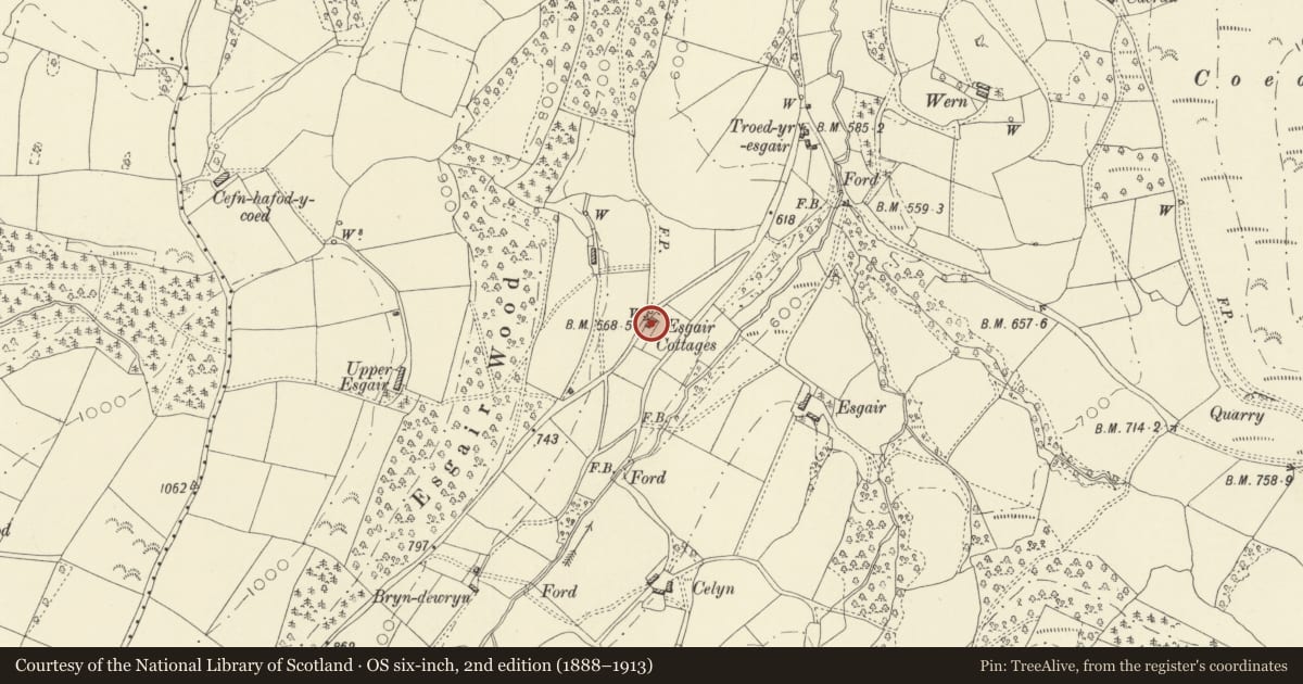
Slide toward Today to fade the historical sheet and see the modern map underneath.
David Rumsey Map Collection, Stanford LibrariesDavid Rumsey Map Collection, Stanford LibrariesDavid Rumsey Map Collection, Stanford LibrariesDavid Rumsey Map Collection, Stanford LibrariesDavid Rumsey Map Collection, Stanford Libraries
5 historical maps cover this location, the earliest the 1608 map "(13) Cambriae Typus." (David Rumsey Map Collection, Stanford Libraries).
Historical maps covering this location
- 1608 · (13) Cambriae Typus. (David Rumsey Map Collection, Stanford Libraries)
- 1637 · Particular description of Wales. Cambria seu Wallia (David Rumsey Map Collection, Stanford Libraries)
- 1883 · Watershed map England, Wales 3. (David Rumsey Map Collection, Stanford Libraries)
- 1899 · 164 Llanidloes (Hills) (David Rumsey Map Collection, Stanford Libraries)
- 1901 · Sheet 14. (David Rumsey Map Collection, Stanford Libraries)
Cadw's description
Location
Located on the road to Newchapel, within a linear intake of land alongside the highway leading from the river valley on to Moelfre plateau.
Exterior
Small traditional unimproved cottage of timber framing. Late C17 or early C18. Framing 2 panels high with limewashed brick infill and brick gable at upper end, and wattle and daub infilling at the lower end. Later, the walls raised by 1 panel with slate roof replacing thatch. Three unit plan, with boarded door opposite central stack now in brick but probably originally timber. Small timber porch with settle. Paned timber windows.
Interior
Not accessible at the time of inspection (April 1996)
Reason for designation
Included as a well-preserved example of the smaller Montgomeryshire cottage traditional in plan and its use of vernacular materials.
Nearby in the register
- Milestone W of Maesyderwyn LaneTransportunder 1 mi
- Farm building at Bryn coch cottageAgriculture and Subsistence1 mi
- Gilfach cottagesDomestic1 mi
- Berth-ddu barnAgriculture and Subsistence1 mi
Other entries of the same register within about three miles of this one, by straight line.