Cof Cymru: National Historic Assets of Wales · Wales
Delfryn Cottage
Henfynyw, Ceredigion, Wales
A Grade II listed building in Henfynyw, Ceredigion, designated on 21 February 1996.
The record
- Designation
- Listed building, Grade II
- Broad class
- Domestic
- Date of designation
- 21 February 1996
- Locality
- Henfynyw
- Community
- Henfynyw
- Unitary authority
- Ceredigion
- Country
- Wales
- Coordinates
- 52.22619, -4.26213
- Cadw reference
- 17742
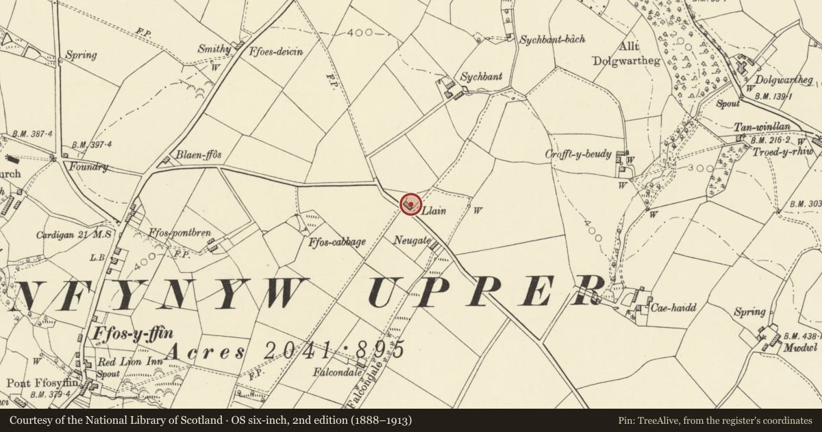
Slide toward Today to fade the historical sheet and see the modern map underneath.
David Rumsey Map Collection, Stanford LibrariesDavid Rumsey Map Collection, Stanford LibrariesDavid Rumsey Map Collection, Stanford LibrariesDavid Rumsey Map Collection, Stanford LibrariesDavid Rumsey Map Collection, Stanford Libraries
5 historical maps cover this location, the earliest the 1830 map "V.3:11-15:XV. Britisches Reich. A. Kon: England. b. Frstenthum Wales: Shire: 37-40" (David Rumsey Map Collection, Stanford Libraries).
Historical maps covering this location
- 1830 · V.3:11-15:XV. Britisches Reich. A. Kon: England. b. Frstenthum Wales: Shire: 37-40 (David Rumsey Map Collection, Stanford Libraries)
- 1898 · 177 Aberaeron (Hills) (David Rumsey Map Collection, Stanford Libraries)
- 1898 · 177 Aberaeron (Outline) (David Rumsey Map Collection, Stanford Libraries)
- 1901 · Sheet 14. (David Rumsey Map Collection, Stanford Libraries)
- 1919 · Sheet 78. Lampeter. (David Rumsey Map Collection, Stanford Libraries)
Cadw's description
Location
Situated on the N side of a minor road E of Henfynyw and attached at right end to Delfryn.
History
Early C19 single-storey cob-walled cottage with stone front. Thatched roof under tin. Shown on the 1846 Tithe Map as being on the Crofftybeudy farm, probably a farmworker's cottage.
Exterior
Whitewashed rubble stone front with cob rear and end wall. Corrugated iron roof over thatch and brick left end stack. Double fronted, offset to right with 4-pane casement each side of part-glazed door, all with timber lintels, and probably later C19 replacements. Rear is all cob above rubble plinth. Two small windows.
Interior
Much smoke-blackened double-purlin roof with thin collar trusses and thin vertically-laid branches under gorse underthatch.
Reason for designation
A scarce example of a cob cottage of regional type, refronted in stone here but retaining its character.
Nearby in the register
- SychpantDomesticunder 1 mi
- CrofftybeudyDomesticunder 1 mi
- Milestone off A487 at HenfynywDomesticunder 1 mi
- Milestone on A482Transportunder 1 mi
Other entries of the same register within about three miles of this one, by straight line.