Cof Cymru: National Historic Assets of Wales · Wales
2 Chest Tombs to west of Church of St Giles
Offa, Wrexham, Wales
A Grade II listed building in Offa, Wrexham, designated on 16 June 1980.
The record
- Designation
- Listed building, Grade II
- Broad class
- Religious, Ritual and Funerary
- Date of designation
- 16 June 1980
- Community
- Offa
- Unitary authority
- Wrexham
- Country
- Wales
- Coordinates
- 53.04426, -2.99312
- Cadw reference
- 1772
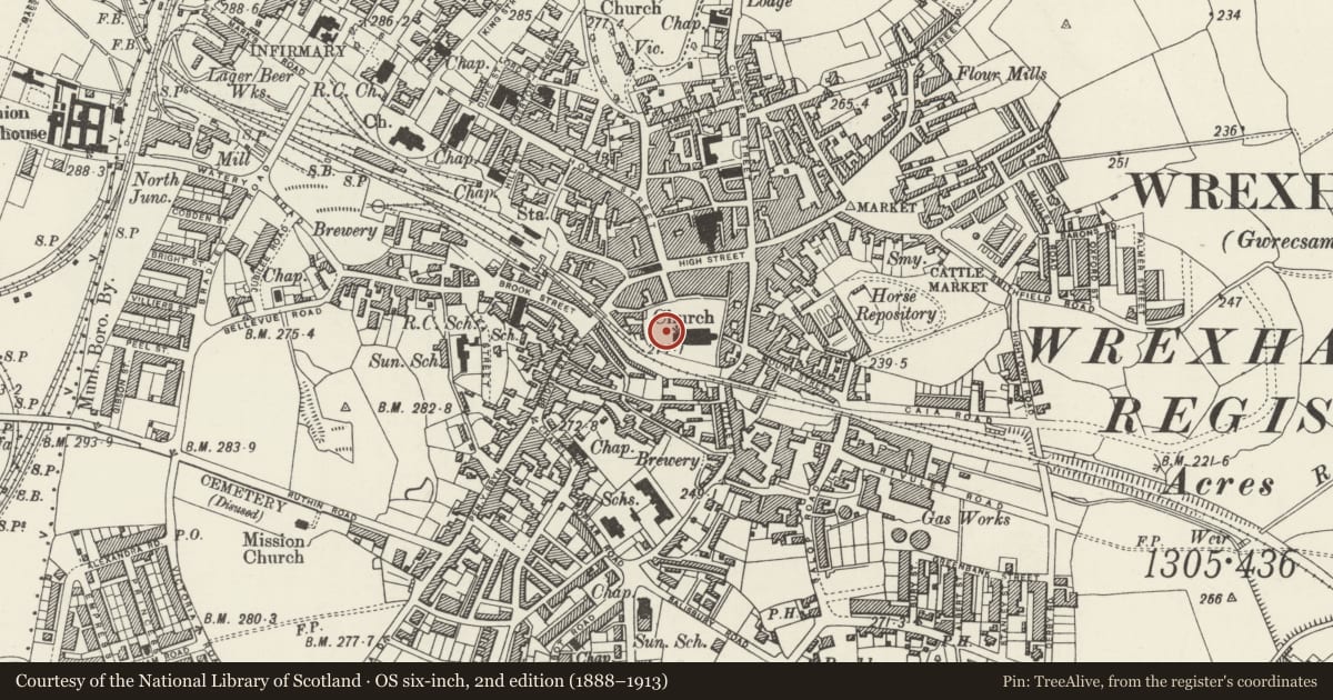
Slide toward Today to fade the historical sheet and see the modern map underneath.
David Rumsey Map Collection, Stanford LibrariesDavid Rumsey Map Collection, Stanford LibrariesDavid Rumsey Map Collection, Stanford LibrariesDavid Rumsey Map Collection, Stanford LibrariesDavid Rumsey Map Collection, Stanford Libraries
5 historical maps cover this location, the earliest the 1608 map "(13) Cambriae Typus." (David Rumsey Map Collection, Stanford Libraries).
Historical maps covering this location
- 1608 · (13) Cambriae Typus. (David Rumsey Map Collection, Stanford Libraries)
- 1883 · Watershed map England, Wales 3. (David Rumsey Map Collection, Stanford Libraries)
- 1898 · 121 Wrexham (Hills) (David Rumsey Map Collection, Stanford Libraries)
- 1898 · 121 Wrexham (Outline) (David Rumsey Map Collection, Stanford Libraries)
- 1901 · Sheet 9 and 10. (David Rumsey Map Collection, Stanford Libraries)
Cadw's description
Location
West of the tower of Saint Giles' Church, adjacent to the sundial.
History
Pair of chest tombs on common base. Commemoration dates between 1726 and 1806.
Exterior
Stone. Tombs each have a stepped base with scrolls to angles of bulbous side panels with moulded cornice below upper slab. One has inscribed upper slab with name of John Bradford, mercer, (d. 1726), and a brass plate naming John Bradford, mercer, (d. 1789), Samuel Roberts, mercer, d. 1806, and John Eddowes, draper, (d. 1764). The other tomb has no inscription, although there are traces of a brass plate long-since removed. Both were formerly surrounded by cast iron railings.
Reason for designation
Good example of late C18 funerary mounuments.
Group value.
Nearby in the register
- Sundial to West of Church of St GilesGardens, Parks and Urban Spacesunder 1 mi
- Tomb of Elihu Yale, west of Church of St GilesReligious, Ritual and Funeraryunder 1 mi
- 2 Chest Tombs adjacent to W Boundary of ChurchyardReligious, Ritual and Funeraryunder 1 mi
- Parish Church of St GilesReligious, Ritual and Funeraryunder 1 mi
Other entries of the same register within about three miles of this one, by straight line.