Cof Cymru: National Historic Assets of Wales · Wales
Gates and Railings at South Lodge
Dyffryn Arth, Ceredigion, Wales
A Grade II listed building in Monachty/Mynachdy, Dyffryn Arth, Ceredigion, designated on 23 May 1996.
The record
- Designation
- Listed building, Grade II
- Broad class
- Domestic
- Date of designation
- 23 May 1996
- Locality
- Monachty/Mynachdy
- Community
- Dyffryn Arth
- Unitary authority
- Ceredigion
- Country
- Wales
- Coordinates
- 52.23392, -4.19206
- Cadw reference
- 17496
Slide toward Today to fade the historical sheet and see the modern map underneath.
David Rumsey Map Collection, Stanford LibrariesDavid Rumsey Map Collection, Stanford LibrariesDavid Rumsey Map Collection, Stanford LibrariesDavid Rumsey Map Collection, Stanford LibrariesDavid Rumsey Map Collection, Stanford Libraries
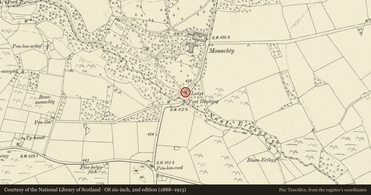
5 historical maps cover this location, the earliest the 1608 map "(13) Cambriae Typus." (David Rumsey Map Collection, Stanford Libraries).
Historical maps covering this location
- 1608 · (13) Cambriae Typus. (David Rumsey Map Collection, Stanford Libraries)
- 1830 · V.3:11-15:XV. Britisches Reich. A. Kon: England. b. Frstenthum Wales: Shire: 37-40 (David Rumsey Map Collection, Stanford Libraries)
- 1898 · 177 Aberaeron (Hills) (David Rumsey Map Collection, Stanford Libraries)
- 1901 · Sheet 14. (David Rumsey Map Collection, Stanford Libraries)
- 1919 · Sheet 78. Lampeter. (David Rumsey Map Collection, Stanford Libraries)
Cadw's description
Location
Situated at main entrance to Monachty, some 1.5 km S of Pennant.
Exterior
History: Earlier C19 entrance gates and railings to Monachty, probably of the 1830s, for Col A.T.J. Gwynne, though lodge and drive are not marked on 1843 Tithe Map, possibly an error.
Description: Two square whitewashed stuccoed piers with two-step stone caps and pineapple finials. Quadrant-curved low whitewashed stucco walls with ashlar coping and thin spearhead rails. Small stuccoed outer piers with flat caps. Double iron gates ramped down to meet stile with curved strengthening bars and latticed mid-rail. Spearhead rails and dog-bars.
Group value with South Lodge at entrance to Monachty, a major country house in the region.
Nearby in the register
- South LodgeDomesticunder 1 mi
- Monachty/ MynachdyDomesticunder 1 mi
- Service Range to NE of MonachtyAgriculture and Subsistenceunder 1 mi
- Coach-House, stable and service courts at MonachtyDomesticunder 1 mi
Other entries of the same register within about three miles of this one, by straight line.