Cof Cymru: National Historic Assets of Wales · Wales
Ysgoldy Ebenezer attached to left of Ebenezer Welsh Independent Chapel
Tonypandy, Rhondda Cynon Taff, Wales
A Grade II* listed building in Tonypandy, Rhondda Cynon Taff, designated on 22 May 1978.
The record
- Designation
- Listed building, Grade II*
- Broad class
- Religious, Ritual and Funerary
- Date of designation
- 22 May 1978
- Locality
- Tonypandy
- Community
- Tonypandy
- Unitary authority
- Rhondda Cynon Taff
- Country
- Wales
- Coordinates
- 51.62013, -3.45255
- Cadw reference
- 17332
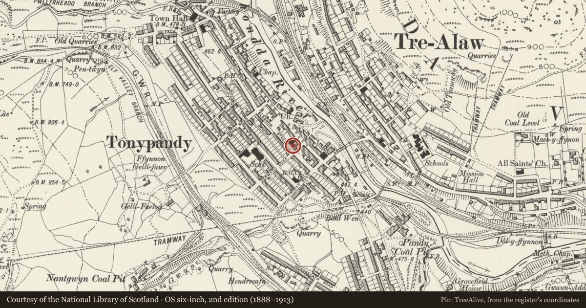
Slide toward Today to fade the historical sheet and see the modern map underneath.
David Rumsey Map Collection, Stanford LibrariesDavid Rumsey Map Collection, Stanford LibrariesDavid Rumsey Map Collection, Stanford LibrariesDavid Rumsey Map Collection, Stanford LibrariesDavid Rumsey Map Collection, Stanford Libraries
5 historical maps cover this location, the earliest the 1636 map "Cornubia : Devonia, Somersetus, Dorcestria, Wiltonia, Glocestria ..." (David Rumsey Map Collection, Stanford Libraries).
Historical maps covering this location
- 1636 · Cornubia : Devonia, Somersetus, Dorcestria, Wiltonia, Glocestria ... (David Rumsey Map Collection, Stanford Libraries)
- 1637 · The fourth table of England. Cornub. Devonia, Somerset etc. (David Rumsey Map Collection, Stanford Libraries)
- 1865 · England and Wales. England No. 6. (David Rumsey Map Collection, Stanford Libraries)
- 1895 · Sheet 11. Ordnance Survey of England and Wales. (David Rumsey Map Collection, Stanford Libraries)
- 1907 · 248 Pontypridd (Hills) (David Rumsey Map Collection, Stanford Libraries)
Cadw's description
Location
Situated on the main thoroughfare in a commanding position above the road and next to the Police Station.
History
Independent Cause in mid-Rhondda established 1865 under leadership of Charles Jenkins, William Jones, David Thomas. Chapel built 1867-8, builder William Richards at cost of £1000, remained centre of Cause in the Rhondda. Repairs and foundations strengthened 1873, new organ installed and improvements and repairs 1892, Revival 1904-5. Refurbishment possibly by Owen Morris Roberts and Son of Port Madoc.
Interior
Former Sunday School now used as chapel has planked dado and elaborate adjustable timber and glazed partition to meeting room.
Reason for designation
Listed II* as one of the finest chapels in the Rhondda, retaining an exceptionally rich interior with fittings complete.
Nearby in the register
- Ebenezer Welsh Independent ChapelReligious, Ritual and Funeraryunder 1 mi
- Forecourt and terrace walls with lamp standard, railings and gates at Ebenezer ChapelReligious, Ritual and Funeraryunder 1 mi
- Pisgah Trefnyddion Calfinaidd (Chapel) including forecourt walls, railings and gatesReligious, Ritual and Funeraryunder 1 mi
- Trefnyddion Bethania CalfinaiddReligious, Ritual and Funeraryunder 1 mi
Other entries of the same register within about three miles of this one, by straight line.