Cof Cymru: National Historic Assets of Wales · Wales
Outbuilding at Snowfield
Kerry, Powys, Wales
A Grade II listed building in Glan-Mule, Newtown, Kerry, Powys, designated on 12 September 1996.
The record
- Designation
- Listed building, Grade II
- Broad class
- Domestic
- Date of designation
- 12 September 1996
- Locality
- Glan-Mule
- Town
- Newtown
- Community
- Kerry
- Unitary authority
- Powys
- Country
- Wales
- Coordinates
- 52.49940, -3.22259
- Cadw reference
- 17299
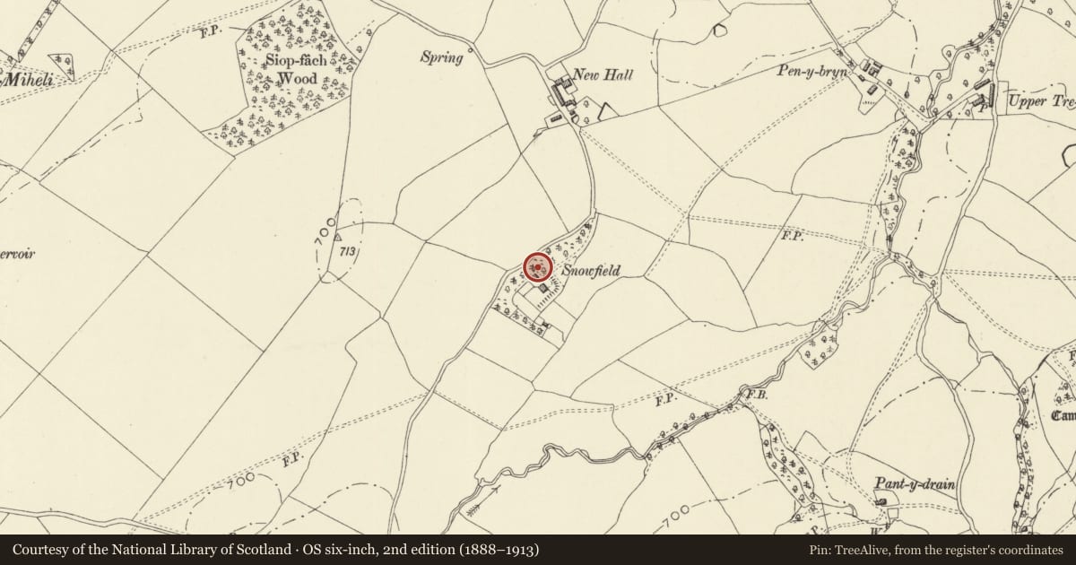
Slide toward Today to fade the historical sheet and see the modern map underneath.
David Rumsey Map Collection, Stanford LibrariesDavid Rumsey Map Collection, Stanford LibrariesDavid Rumsey Map Collection, Stanford LibrariesDavid Rumsey Map Collection, Stanford LibrariesDavid Rumsey Map Collection, Stanford Libraries
5 historical maps cover this location, the earliest the 1608 map "(13) Cambriae Typus." (David Rumsey Map Collection, Stanford Libraries).
Historical maps covering this location
- 1608 · (13) Cambriae Typus. (David Rumsey Map Collection, Stanford Libraries)
- 1637 · Particular description of Wales. Cambria seu Wallia (David Rumsey Map Collection, Stanford Libraries)
- 1883 · Watershed map England, Wales 3. (David Rumsey Map Collection, Stanford Libraries)
- 1899 · 165 Montgomery (Hills) (David Rumsey Map Collection, Stanford Libraries)
- 1901 · Sheet 14. (David Rumsey Map Collection, Stanford Libraries)
Cadw's description
Location
Located facing the house on the NE side.
Exterior
c1832-40 coachhouse of 3 bays, painted brick with tiled roof. Moulded arches to each bay, the centre with a window, stable to left and gig house to right, the double doors replaced by a blocking wall. Pointed headed windows to attic floor in gable ends.
Reason for designation
Included as of group value with the house, and designed in a complimentary style.
Nearby in the register
- SnowfieldDomesticunder 1 mi
- Upper TrefeenDomesticunder 1 mi
- Fron Derw Wood CampHillfortunder 1 mi
- Cwm-dirgelDomesticunder 1 mi
Other entries of the same register within about three miles of this one, by straight line.