Cof Cymru: National Historic Assets of Wales · Wales
L-shaped stable range at Bryn Eisteddfod
Llansanffraid Glan Conwy, Conwy, Wales
A Grade II listed building in Bryn Eisteddfod, Llansanffraid Glan Conwy, Conwy, designated on 5 January 1996.
The record
- Designation
- Listed building, Grade II
- Broad class
- Domestic
- Date of designation
- 5 January 1996
- Locality
- Bryn Eisteddfod
- Community
- Llansanffraid Glan Conwy
- Unitary authority
- Conwy
- Country
- Wales
- Coordinates
- 53.27534, -3.78996
- Cadw reference
- 17033
Slide toward Today to fade the historical sheet and see the modern map underneath.
David Rumsey Map Collection, Stanford LibrariesDavid Rumsey Map Collection, Stanford LibrariesLlyfrgell Genedlaethol Cymru – The National Library of WalesDavid Rumsey Map Collection, Stanford LibrariesNational Library of Scotland
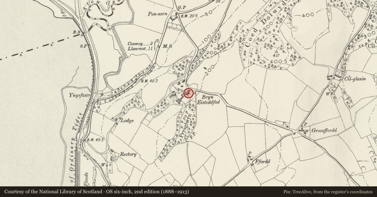
5 historical maps cover this location, the earliest the 1795 map "To Sir Watkin Williams-Wynn Bart ... the map of the six counties of North Wales is most humbly inscribed by his obedient humble servant" (Llyfrgell Genedlaethol Cymru – The National Library of Wales).
Historical maps covering this location
- 1795 · To Sir Watkin Williams-Wynn Bart ... the map of the six counties of North Wales is most… (Llyfrgell Genedlaethol Cymru – The National Library of Wales)
- 1830 · V.3:11-15:XV. Britisches Reich. A. Kon: England. b. Frstenthum Wales: Shire: 37-40 (David Rumsey Map Collection, Stanford Libraries)
- 1883 · Watershed map England, Wales 3. (David Rumsey Map Collection, Stanford Libraries)
- 1901 · Sheet 9 and 10. (David Rumsey Map Collection, Stanford Libraries)
- 1930 · OS Popular Edition 1919-1947 (National Library of Scotland)
Cadw's description
Location
Gable end on to the service access lane, opposite the kitchen garden and to the NE of the house.
Exterior
Early C19 stable complex, not shown in a 1792 estate map. It is possible that this building belongs to Hugh Chambres Jones' rebuilding phase at Bryn Eisteddfod in the mid 1830s, though it may equally have been erected a generation earlier for his father. Of lime rendered rubble with slate roofs and tiled ridges. The main block faces NE and has paired central and single outer entrances with brick cambered heads; boarded and stable doors, some with vent slits. The return section has a large entrance as before to the yard side. The roof is hipped at the ends and the SE face is near symmetrical. This had a central carthouse with flanking stabling or tack rooms. Wide depressed arch with dressed stone voussoirs and a cobbled floor internally. This is flanked by, on the L, a contemporary entrance with pegged, chamfered doorcase and stable doors and, to the R, by a large square opening, a later enlargement. C20 leaded casement window to the lane-facing gable with brick-cambered loading bay above; small late C19 metal louvre to roof.
Interior
3 contemporary pine loosebox partitions survive within L stable.
Reason for designation
Included for group value with other listed items at Bryn Eisteddfod.
Nearby in the register
- Rubble cart shed at Bryn EisteddfodAgriculture and Subsistenceunder 1 mi
- Mews CottageDomesticunder 1 mi
- Pleasure Garden WallsDomesticunder 1 mi
- Garages at Bryn EisteddfodDomesticunder 1 mi
Other entries of the same register within about three miles of this one, by straight line.