Cof Cymru: National Historic Assets of Wales · Wales
Ty-Newydd-y-Fynnon
Ffestiniog, Gwynedd, Wales
A Grade II listed building in Manod, Ffestiniog, Gwynedd, designated on 1 February 1996.
The record
- Designation
- Listed building, Grade II
- Broad class
- Domestic
- Date of designation
- 1 February 1996
- Locality
- Manod
- Community
- Ffestiniog
- Unitary authority
- Gwynedd
- Country
- Wales
- Coordinates
- 52.97547, -3.93080
- Cadw reference
- 16902
Slide toward Today to fade the historical sheet and see the modern map underneath.
David Rumsey Map Collection, Stanford LibrariesDavid Rumsey Map Collection, Stanford LibrariesDavid Rumsey Map Collection, Stanford LibrariesLlyfrgell Genedlaethol Cymru – The National Library of WalesDavid Rumsey Map Collection, Stanford Libraries
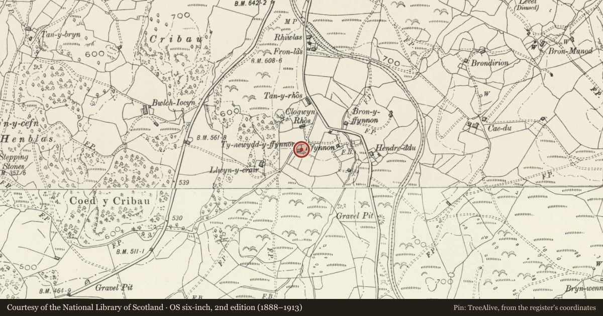
5 historical maps cover this location, the earliest the 1795 map "To Sir Watkin Williams-Wynn Bart ... the map of the six counties of North Wales is most humbly inscribed by his obedient humble servant" (Llyfrgell Genedlaethol Cymru – The National Library of Wales).
Historical maps covering this location
- 1795 · To Sir Watkin Williams-Wynn Bart ... the map of the six counties of North Wales is most… (Llyfrgell Genedlaethol Cymru – The National Library of Wales)
- 1883 · Watershed map England, Wales 3. (David Rumsey Map Collection, Stanford Libraries)
- 1896 · Sheet 7. Ordnance Survey of England and Wales. (David Rumsey Map Collection, Stanford Libraries)
- 1899 · 119 Snowdon (Hills) (David Rumsey Map Collection, Stanford Libraries)
- 1901 · Sheet 9 and 10. (David Rumsey Map Collection, Stanford Libraries)
Cadw's description
Location
Located at the southern-most edge of Manod on the slope of a hill, to the W of the main road; accessed via a short farm track leading down from the road
Exterior
Exterior: Late C17 storeyed end chimney house with late C19 cosmetic alterations. Rubble construction on part-boulder plinth and with rubble gable parapets. Old slate roof with C19 chimneys; weather-coursing and plain capping. Near-centre entrance (R) with recessed boarded door with glazed panel. Flanking C19 recessed 4-pane sashes with projecting slate cills; similar, smaller windows above. C19 rubble lean-to to L gable; corrugated iron roof. Modern windows to the rear and a further C19 sash; this in a reduced stairlight (?) with some brick patching. Traces of external render and whitening remain.
Interior: Chamfered beams to L-hand ground floor room (former hall); large fireplace with bressummer.
A C17 vernacular farmhouse retaining much of its character.
Nearby in the register
- Bwlch-IocynDomesticunder 1 mi
- Hut Circle East of Cymerau Uchaf (also known as Hut Circle at Hen Blas)Unenclosed hut circleunder 1 mi
- Bridge c200m W of Pont y PandyTransportunder 1 mi
- Pengwern Old HallDomesticunder 1 mi
Other entries of the same register within about three miles of this one, by straight line.