Cof Cymru: National Historic Assets of Wales · Wales
Pendas House
Overton, Wrexham, Wales
A Grade II listed building in Overton, Wrexham, designated on 16 November 1962.
The record
- Designation
- Listed building, Grade II
- Broad class
- Domestic
- Date of designation
- 16 November 1962
- Community
- Overton
- Unitary authority
- Wrexham
- Country
- Wales
- Coordinates
- 52.97141, -2.93471
- Cadw reference
- 1690
Slide toward Today to fade the historical sheet and see the modern map underneath.
David Rumsey Map Collection, Stanford LibrariesDavid Rumsey Map Collection, Stanford LibrariesDavid Rumsey Map Collection, Stanford LibrariesDavid Rumsey Map Collection, Stanford LibrariesDavid Rumsey Map Collection, Stanford Libraries
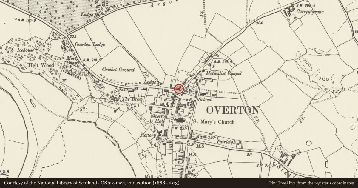
5 historical maps cover this location, the earliest the 1608 map "(13) Cambriae Typus." (David Rumsey Map Collection, Stanford Libraries).
Historical maps covering this location
- 1608 · (13) Cambriae Typus. (David Rumsey Map Collection, Stanford Libraries)
- 1637 · Particular description of Wales. Cambria seu Wallia (David Rumsey Map Collection, Stanford Libraries)
- 1830 · V.3:11-15:XV.Britisches Reich. A. Kon: England. a. England ab sich: Shire:15-17, 33 (David Rumsey Map Collection, Stanford Libraries)
- 1883 · Watershed map England, Wales 3. (David Rumsey Map Collection, Stanford Libraries)
- 1901 · Sheet 9 and 10. (David Rumsey Map Collection, Stanford Libraries)
Cadw's description
Location
On the W corner of Turning Street, in a prominent position facing down High Street.
History
Mid C18 house.
Exterior
Brick with slate roofs. Three-storeyed, 3-window range with central entrance. Six-panelled door with overlight in pedimented architrave, flanked by 3-light casement windows (renewed in original openings) with steep cambered heads. Similar windows on the upper floors (of 2-lights over door and in attic storey). Plat band over loer windows. Coped gables with end wall stacks. Lower wing to rear forming part of the original building, extended later C18 or early C19.
Reason for designation
Forms an important group with the adjoining terrace at Nos.1-8 Wrexham Road.
Nearby in the register
- Dispensary RowDomesticunder 1 mi
- Dispensary RowDomesticunder 1 mi
- Dispensary RowDomesticunder 1 mi
- Dispensary RowDomesticunder 1 mi
Other entries of the same register within about three miles of this one, by straight line.