Cof Cymru: National Historic Assets of Wales · Wales
Former Engine House
Ffestiniog, Gwynedd, Wales
A Grade II listed building in Maenofferen Slate Quarry, Ffestiniog, Gwynedd, designated on 1 February 1996.
The record
- Designation
- Listed building, Grade II
- Broad class
- Industrial
- Date of designation
- 1 February 1996
- Locality
- Maenofferen Slate Quarry
- Community
- Ffestiniog
- Unitary authority
- Gwynedd
- Country
- Wales
- Coordinates
- 53.00170, -3.91745
- Cadw reference
- 16891
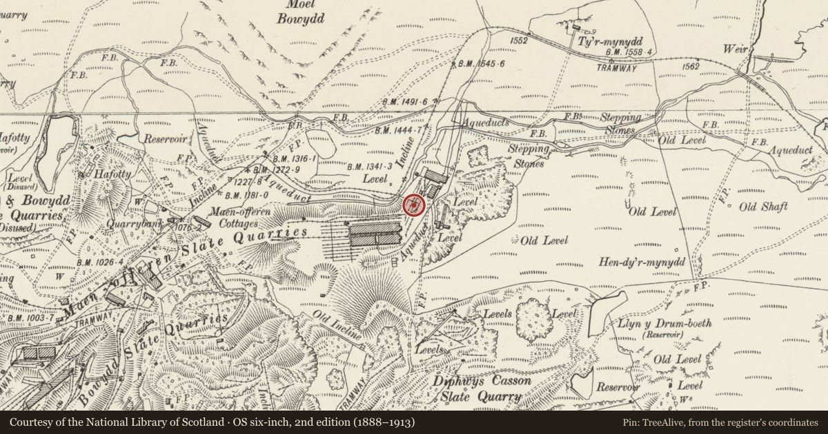
Slide toward Today to fade the historical sheet and see the modern map underneath.
David Rumsey Map Collection, Stanford LibrariesDavid Rumsey Map Collection, Stanford LibrariesDavid Rumsey Map Collection, Stanford LibrariesLlyfrgell Genedlaethol Cymru – The National Library of WalesDavid Rumsey Map Collection, Stanford Libraries
5 historical maps cover this location, the earliest the 1795 map "To Sir Watkin Williams-Wynn Bart ... the map of the six counties of North Wales is most humbly inscribed by his obedient humble servant" (Llyfrgell Genedlaethol Cymru – The National Library of Wales).
Historical maps covering this location
- 1795 · To Sir Watkin Williams-Wynn Bart ... the map of the six counties of North Wales is most… (Llyfrgell Genedlaethol Cymru – The National Library of Wales)
- 1883 · Watershed map England, Wales 3. (David Rumsey Map Collection, Stanford Libraries)
- 1896 · Sheet 7. Ordnance Survey of England and Wales. (David Rumsey Map Collection, Stanford Libraries)
- 1899 · 119 Snowdon (Hills) (David Rumsey Map Collection, Stanford Libraries)
- 1901 · Sheet 9 and 10. (David Rumsey Map Collection, Stanford Libraries)
Cadw's description
Location
Located immediately behind the electric booster house on the main level, NE of the slab mill.
Exterior
Description: Small, plain early C20 rectangular slate building with slate roof and tiled ridge. Large boarded double doors to N gable end; two 16-pane fixed windows to W side. Plain interior.
Included for group value with neighbouring listed items at this exceptionally complete example of a slate quarry level.
Nearby in the register
- Smithy and Workshop RangeCommercialunder 1 mi
- Booster StationIndustrialunder 1 mi
- Powered Incline Drumhouse including chimneyIndustrialunder 1 mi
- Former Weighbridge HutIndustrialunder 1 mi
Other entries of the same register within about three miles of this one, by straight line.