Cof Cymru: National Historic Assets of Wales · Wales
Railings, Gates and Dwarf Wall to St John's Churchyard (N Section)
Castle, Cardiff, Wales
A Grade II listed building in Cardiff, Castle, designated on 20 March 1996.
The record
- Designation
- Listed building, Grade II
- Broad class
- Religious, Ritual and Funerary
- Date of designation
- 20 March 1996
- Town
- Cardiff
- Community
- Castle
- Unitary authority
- Cardiff
- Country
- Wales
- Coordinates
- 51.48053, -3.17793
- Cadw reference
- 16876
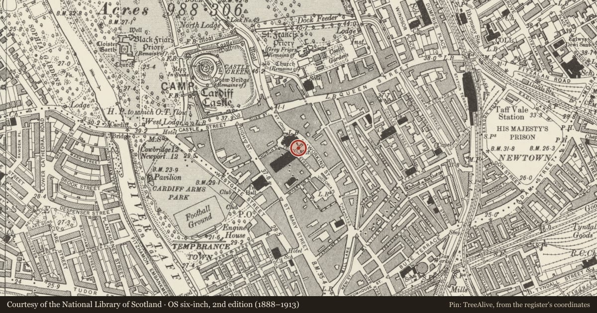
Slide toward Today to fade the historical sheet and see the modern map underneath.
David Rumsey Map Collection, Stanford LibrariesDavid Rumsey Map Collection, Stanford LibrariesDavid Rumsey Map Collection, Stanford LibrariesDavid Rumsey Map Collection, Stanford LibrariesDavid Rumsey Map Collection, Stanford Libraries
5 historical maps cover this location, the earliest the 1636 map "Cornubia : Devonia, Somersetus, Dorcestria, Wiltonia, Glocestria ..." (David Rumsey Map Collection, Stanford Libraries).
Historical maps covering this location
- 1636 · Cornubia : Devonia, Somersetus, Dorcestria, Wiltonia, Glocestria ... (David Rumsey Map Collection, Stanford Libraries)
- 1865 · England and Wales. England No. 6. (David Rumsey Map Collection, Stanford Libraries)
- 1895 · Sheet 11. Ordnance Survey of England and Wales. (David Rumsey Map Collection, Stanford Libraries)
- 1898 · 263 Cardiff (Hills) (David Rumsey Map Collection, Stanford Libraries)
- 1913 · Sheet 110. Cardiff & Mouth of the Severn. (David Rumsey Map Collection, Stanford Libraries)
Cadw's description
Location
Surrounding St John's Church, and enclosing to S, between Working Street and Trinity Street, churchyard with early and mid C19 gravestones, and restored medieval cross. Separated from S churchyard by lane aligned on market.
History
1890's, contemporary with additions to St John's Church, new Cardiff Market, extension of Central Library.and re-ordering of Hayes Island.
Exterior
A dwarf wall of grey rock-faced stone with moulded capstones supports wrought iron railings. Railings have leaf-finials, a band of quatrefoils above a band of open trefoils, and lower intermediate railings with arrow finials. Taller posts with fleur-de-lys finials. At corners with lane aligned on market, wrought iron piers with wrought-iron leaves and quatrefoils to panels,
Gothic finials to corners, fleur-de lys to centre. Gates to churchyard in matching style.
Reason for designation
Listed as good example of railings which enclose an historically important open space and for group value with St John's Church and Churchyard Cross, Old Library, and Market.
Nearby in the register
- Railings, Gates and Dwarf Wall to St John's Churchyard (S Section)Religious, Ritual and Funeraryunder 1 mi
- Churchyard Cross on S side of St John's ChurchReligious, Ritual and Funeraryunder 1 mi
- Hut in St John's gardensMiscellaneousunder 1 mi
- Church of St John The Baptist.Religious, Ritual and Funeraryunder 1 mi
Other entries of the same register within about three miles of this one, by straight line.