Cof Cymru: National Historic Assets of Wales · Wales
War Memorial in churchyard at Church of St Mary
Welshpool, Powys, Wales
A Grade II listed building in Welshpool, Powys, designated on 29 February 1996.
The record
- Designation
- Listed building, Grade II
- Broad class
- Commemorative
- Date of designation
- 29 February 1996
- Locality
- Welshpool
- Community
- Welshpool
- Unitary authority
- Powys
- Country
- Wales
- Coordinates
- 52.66084, -3.14661
- Cadw reference
- 16642
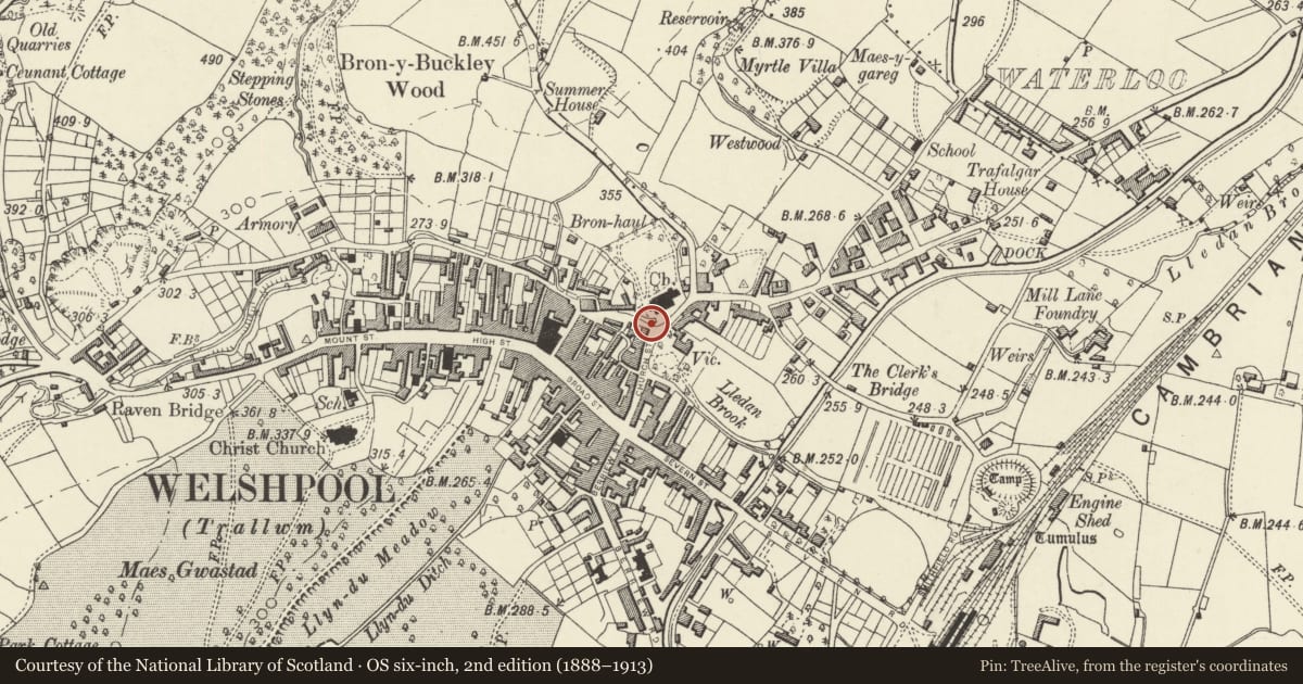
Slide toward Today to fade the historical sheet and see the modern map underneath.
David Rumsey Map Collection, Stanford LibrariesDavid Rumsey Map Collection, Stanford LibrariesDavid Rumsey Map Collection, Stanford LibrariesDavid Rumsey Map Collection, Stanford LibrariesLlyfrgell Genedlaethol Cymru – The National Library of Wales
5 historical maps cover this location, the earliest the 1795 map "To Sir Watkin Williams-Wynn Bart ... the map of the six counties of North Wales is most humbly inscribed by his obedient humble servant" (Llyfrgell Genedlaethol Cymru – The National Library of Wales).
Historical maps covering this location
- 1795 · To Sir Watkin Williams-Wynn Bart ... the map of the six counties of North Wales is most… (Llyfrgell Genedlaethol Cymru – The National Library of Wales)
- 1883 · Watershed map England, Wales 3. (David Rumsey Map Collection, Stanford Libraries)
- 1899 · 151 Welshpool (Hills) (David Rumsey Map Collection, Stanford Libraries)
- 1901 · Sheet 9 and 10. (David Rumsey Map Collection, Stanford Libraries)
- 1916 · Sheet 60. Shrewsbury. (David Rumsey Map Collection, Stanford Libraries)
Cadw's description
Location
At the head of the steps which are the main entrance to the Churchyard from Church Bank.
Exterior
Designed in 1921 by Aston Webb; erected by public subscription in 1923. Red sandstone ashlar. A tapering rectangular shaft surmounted by a tabernacle with relief carvings of local saints is set over low quadrant walls, which have inscriptions in raised lettering on their outer face, inscribed lettering on their inner face, and slate memorial slabs attached to the inner face (apparently superimposed to renew earlier inscriptions).
A fine example of a war memorial which forms a prominent feature in the townscape and at the approach to the church.
Reference: Welshpool War Memorial, bound material including original appeal document, Newtown Public Library.
Nearby in the register
- Retaining walls, steps, gate-piers and gates to churchyard at Church of St MaryReligious, Ritual and Funeraryunder 1 mi
- Sundial in churchyard at Church of St MaryGardens, Parks and Urban Spacesunder 1 mi
- Pair of Inscribed Stones in Union Bridge ParapetTransportunder 1 mi
- Church of Saint MaryReligious, Ritual and Funeraryunder 1 mi
Other entries of the same register within about three miles of this one, by straight line.