Cof Cymru: National Historic Assets of Wales · Wales
40 Henblas Street
Rhosddu, Wrexham, Wales
A Grade II listed building in Rhosddu, Wrexham, designated on 16 June 1980.
The record
- Designation
- Listed building, Grade II
- Broad class
- Commercial
- Date of designation
- 16 June 1980
- Community
- Rhosddu
- Unitary authority
- Wrexham
- Country
- Wales
- Coordinates
- 53.04571, -2.99208
- Cadw reference
- 16503
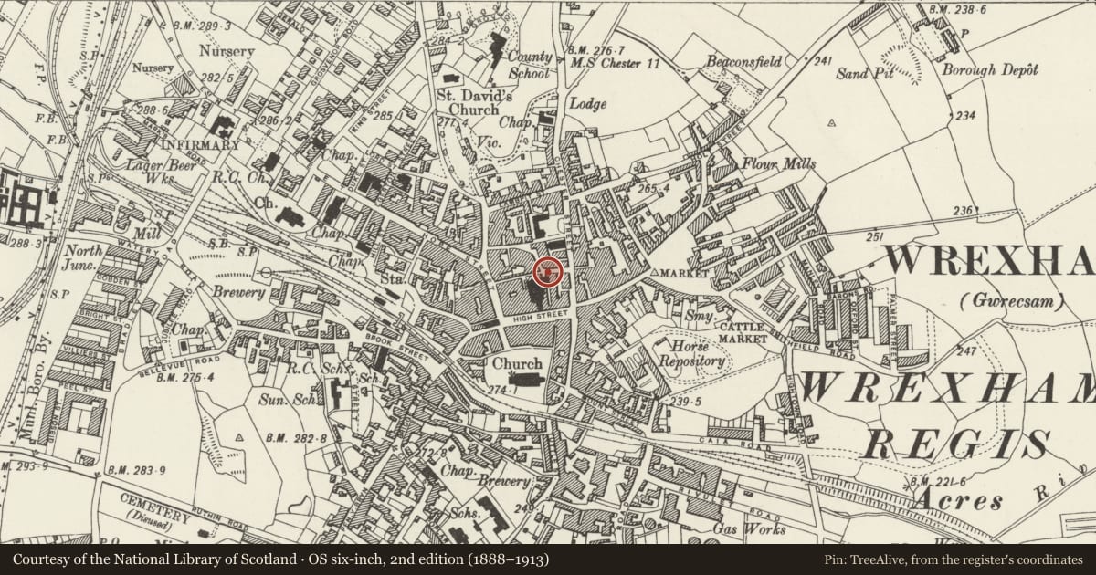
Slide toward Today to fade the historical sheet and see the modern map underneath.
David Rumsey Map Collection, Stanford LibrariesDavid Rumsey Map Collection, Stanford LibrariesDavid Rumsey Map Collection, Stanford LibrariesDavid Rumsey Map Collection, Stanford LibrariesDavid Rumsey Map Collection, Stanford Libraries
5 historical maps cover this location, the earliest the 1608 map "(13) Cambriae Typus." (David Rumsey Map Collection, Stanford Libraries).
Historical maps covering this location
- 1608 · (13) Cambriae Typus. (David Rumsey Map Collection, Stanford Libraries)
- 1883 · Watershed map England, Wales 3. (David Rumsey Map Collection, Stanford Libraries)
- 1898 · 121 Wrexham (Hills) (David Rumsey Map Collection, Stanford Libraries)
- 1898 · 121 Wrexham (Outline) (David Rumsey Map Collection, Stanford Libraries)
- 1901 · Sheet 9 and 10. (David Rumsey Map Collection, Stanford Libraries)
Cadw's description
History
Built in 1848 to designs of the younger Thomas Penson, and extended to rear c1880.
Exterior
Exterior (High Street elevation): Roughly coursed and squared stone with slate roof, a 2 storeyed range symmetrically planned with higher 3-window entrance range flanked by lower single window ranges housing shops to either side. Jacobean style. Entrance range has advanced central gabled bay, with segmentally arched entrance, and upper storey corbelled out. Corbelled mullioned and transomed oriel window with leaded lights and strapwork parapet over the entrance beneath a shaped gable with finials. To either side of the central gable, original full-height segmental openings now form windows to adjacent shops. 3-light mullioned and transomed windows with leaded glazing above, with pedimented heads, and shaped gablets breaking the eaves line above. To either side of this block, lower side ranges are slightly recessed and clasped by outer pilasters surmounted by urn finials. No 11 retains late C19 front with ornate panelled pilasters to either side. 2-light mullioned and transomed window with leaded lights to each side above.
Rear entrance and No 40 Henblas Street: Rear entrance of market hall forms part of an extension of c1879-80, and is similar in design to the General Market entrance which it faces across the street. Segmentally arched entry (the doors themselves, and the glazed tymapanum renewed), with inset stone shafts with foliate capitals carrying the arch which has a stone rams-head key. Stepped teracotta corbelling follows the line of the steep stone coped gable above. Projecting from the left hand side of this entrance, a 2-storeyed shop building is dated 1880: Entrance across stressed angle, with panelled pilasters to either side of recessed doorway, and similar pilasters at outer ends of shop windows in each elevation. Blind brickwork to angled upper storey, between pilasters, with stone panel carrying date as cornice, and heavy cast iron scrolled lantern to wall. Paired round headed windows with central stone shaft, terracotta rosettes and continuous hood mould to either side. Terracotta corbel table between outer pilasters. Hipped slate roof with lead finials.
Interior
Market hall includes 2 permanent stalls or shops to either side of entrance from High Street, both with late C19 detailing. Hall is an 8-bay structure, with timber trusses carried on cast iron columns with wrought iron braces forming aisles.
Nearby in the register
- General Market BuildingCommercialunder 1 mi
- General Market Building - Public Convenience (Ladies)Gardens, Parks and Urban Spacesunder 1 mi
- General Market BuildingsCommercialunder 1 mi
- General Market BuildingCommercialunder 1 mi
Other entries of the same register within about three miles of this one, by straight line.