Cof Cymru: National Historic Assets of Wales · Wales
Garden Terraces at Vaynor Park
Berriew, Powys, Wales
A Grade II listed building in Vaynor, Berriew, Powys, designated on 21 August 1995.
The record
- Designation
- Listed building, Grade II
- Broad class
- Gardens, Parks and Urban Spaces
- Date of designation
- 21 August 1995
- Locality
- Vaynor
- Community
- Berriew
- Unitary authority
- Powys
- Country
- Wales
- Coordinates
- 52.59338, -3.21751
- Cadw reference
- 16400
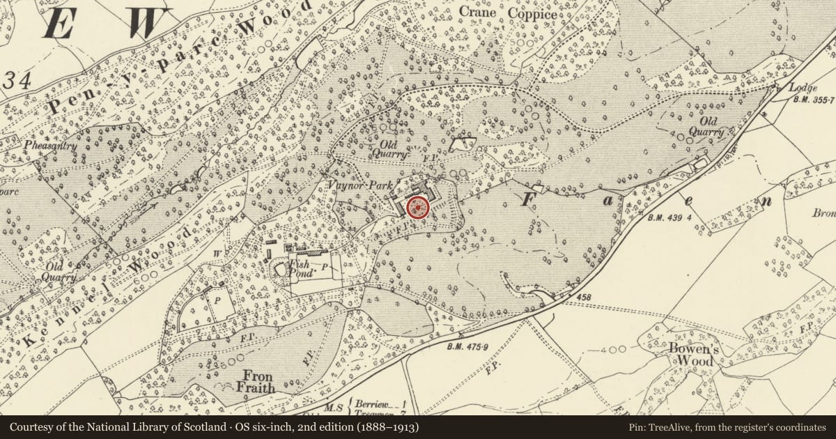
Slide toward Today to fade the historical sheet and see the modern map underneath.
David Rumsey Map Collection, Stanford LibrariesDavid Rumsey Map Collection, Stanford LibrariesDavid Rumsey Map Collection, Stanford LibrariesDavid Rumsey Map Collection, Stanford LibrariesLlyfrgell Genedlaethol Cymru – The National Library of Wales
5 historical maps cover this location, the earliest the 1795 map "To Sir Watkin Williams-Wynn Bart ... the map of the six counties of North Wales is most humbly inscribed by his obedient humble servant" (Llyfrgell Genedlaethol Cymru – The National Library of Wales).
Historical maps covering this location
- 1795 · To Sir Watkin Williams-Wynn Bart ... the map of the six counties of North Wales is most… (Llyfrgell Genedlaethol Cymru – The National Library of Wales)
- 1883 · Watershed map England, Wales 3. (David Rumsey Map Collection, Stanford Libraries)
- 1899 · 151 Welshpool (Hills) (David Rumsey Map Collection, Stanford Libraries)
- 1901 · Sheet 9 and 10. (David Rumsey Map Collection, Stanford Libraries)
- 1916 · Sheet 60. Shrewsbury. (David Rumsey Map Collection, Stanford Libraries)
Cadw's description
Location
Alongside the house to the S, and forming the S boundary of the courtyard to its W.
History
The terraces were designed by Thomas Penson, county surveyor for Montgomeryshire, as part of his extensive remodelling of the house, 1840-53. They link the house with the stable block to the SW.
Exterior
Brick retaining wall surmounted by a series of urns in the length parallel to the house, with short lengths of parapet to either end: open-work lozenge decoration and bulbous pilasters over splayed buttresses. Shallow steps to the gardens immediately SW of the house, with urns on low parapets.
Reason for designation
Included as a significant component both of the house at Vayor Park, and also of the garden layout which is contemporary with the remodelling of the house.
Nearby in the register
- Stable Block at Vaynor ParkDomesticunder 1 mi
- Vaynor ParkDomesticunder 1 mi
- Coach House, Gate Piers, Gated and Flanking Wall at Vaynor ParkDomesticunder 1 mi
- Gwern GochDomesticunder 1 mi
Other entries of the same register within about three miles of this one, by straight line.