Cof Cymru: National Historic Assets of Wales · Wales
Gro Cottage
Berriew, Powys, Wales
A Grade II listed building in Refail, Berriew, Powys, designated on 26 October 1953.
The record
- Designation
- Listed building, Grade II
- Broad class
- Domestic
- Date of designation
- 26 October 1953
- Locality
- Refail
- Community
- Berriew
- Unitary authority
- Powys
- Country
- Wales
- Coordinates
- 52.59579, -3.19214
- Cadw reference
- 16393
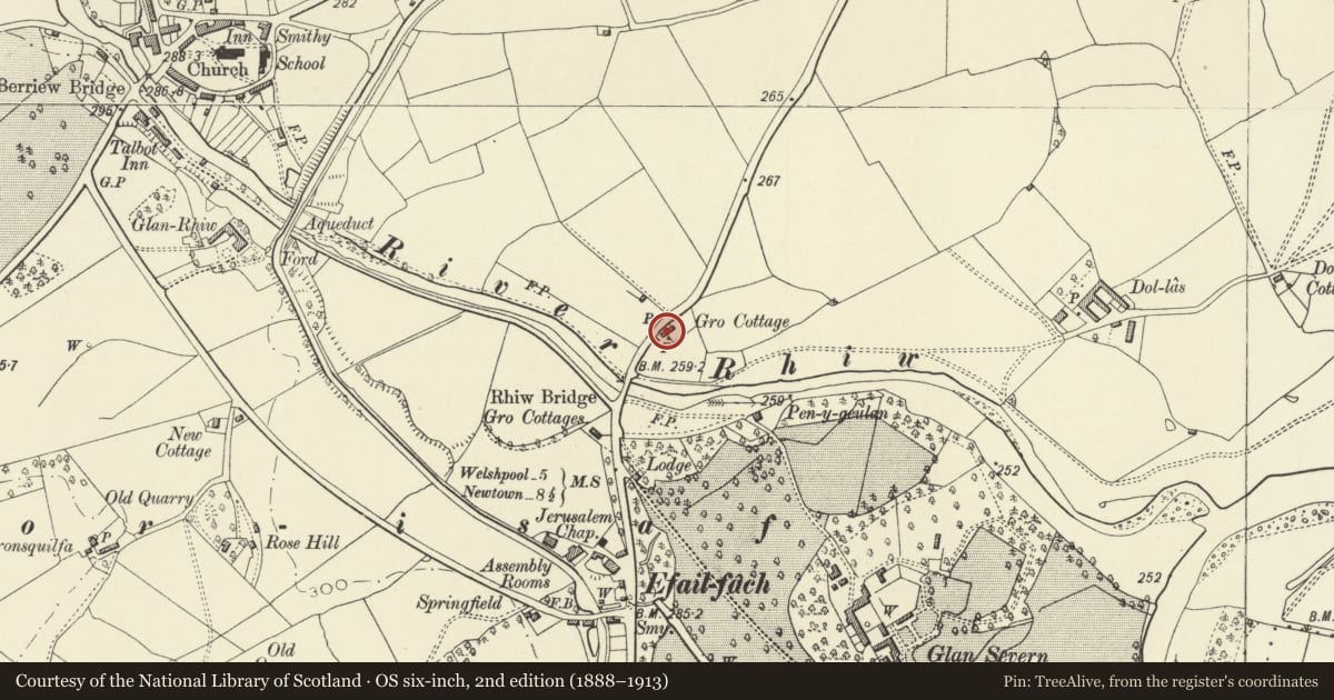
Slide toward Today to fade the historical sheet and see the modern map underneath.
David Rumsey Map Collection, Stanford LibrariesDavid Rumsey Map Collection, Stanford LibrariesDavid Rumsey Map Collection, Stanford LibrariesDavid Rumsey Map Collection, Stanford LibrariesLlyfrgell Genedlaethol Cymru – The National Library of Wales
5 historical maps cover this location, the earliest the 1795 map "To Sir Watkin Williams-Wynn Bart ... the map of the six counties of North Wales is most humbly inscribed by his obedient humble servant" (Llyfrgell Genedlaethol Cymru – The National Library of Wales).
Historical maps covering this location
- 1795 · To Sir Watkin Williams-Wynn Bart ... the map of the six counties of North Wales is most… (Llyfrgell Genedlaethol Cymru – The National Library of Wales)
- 1883 · Watershed map England, Wales 3. (David Rumsey Map Collection, Stanford Libraries)
- 1899 · 151 Welshpool (Hills) (David Rumsey Map Collection, Stanford Libraries)
- 1901 · Sheet 9 and 10. (David Rumsey Map Collection, Stanford Libraries)
- 1916 · Sheet 60. Shrewsbury. (David Rumsey Map Collection, Stanford Libraries)
Cadw's description
Location
Just off the main A483 immediately to the N of its crossing of the River Rhiw.
History
Probably C17 in origin, remodelled by the Vaynor Estate c1850.
Exterior
Timber framed with slate roofs. Brick axial stack, with square base and octagonal shafts, of a type associated with the Vaynor Estate. Box framing with plastered panel infill, and some painted brick. One and a half storeyed, 3-unit plan, with axial stack. Baffle entry (in added porch), and casement windows (formerly with latticed panes) with canopy hoods. Similar windows in rear elevation, and a canted bay window to the left. Gabled dormers within the roof. Weather-boarded outbuilding adjoins the house to the SW.
Reason for designation
A good example of the way in which a vernacular cottage was remodelled by the Vaynor Estate during the C19.
Nearby in the register
- Efail Fach CottageCommercialunder 1 mi
- Former Brew-House at Glansevern HallDomesticunder 1 mi
- Coach House at Glansevern Hall (including Courtyard Wall, Gate-Piers and Gates)Domesticunder 1 mi
- Berriew AqueductWater Supply and Drainageunder 1 mi
Other entries of the same register within about three miles of this one, by straight line.