Cof Cymru: National Historic Assets of Wales · Wales
No 1
Rhayader, Powys, Wales
A Grade II listed building in Rhayader, Powys, designated on 31 July 1995.
The record
- Designation
- Listed building, Grade II
- Broad class
- Domestic
- Date of designation
- 31 July 1995
- Community
- Rhayader
- Unitary authority
- Powys
- Country
- Wales
- Coordinates
- 52.27248, -3.56520
- Cadw reference
- 16211
Slide toward Today to fade the historical sheet and see the modern map underneath.
David Rumsey Map Collection, Stanford LibrariesDavid Rumsey Map Collection, Stanford LibrariesDavid Rumsey Map Collection, Stanford LibrariesDavid Rumsey Map Collection, Stanford LibrariesDavid Rumsey Map Collection, Stanford Libraries
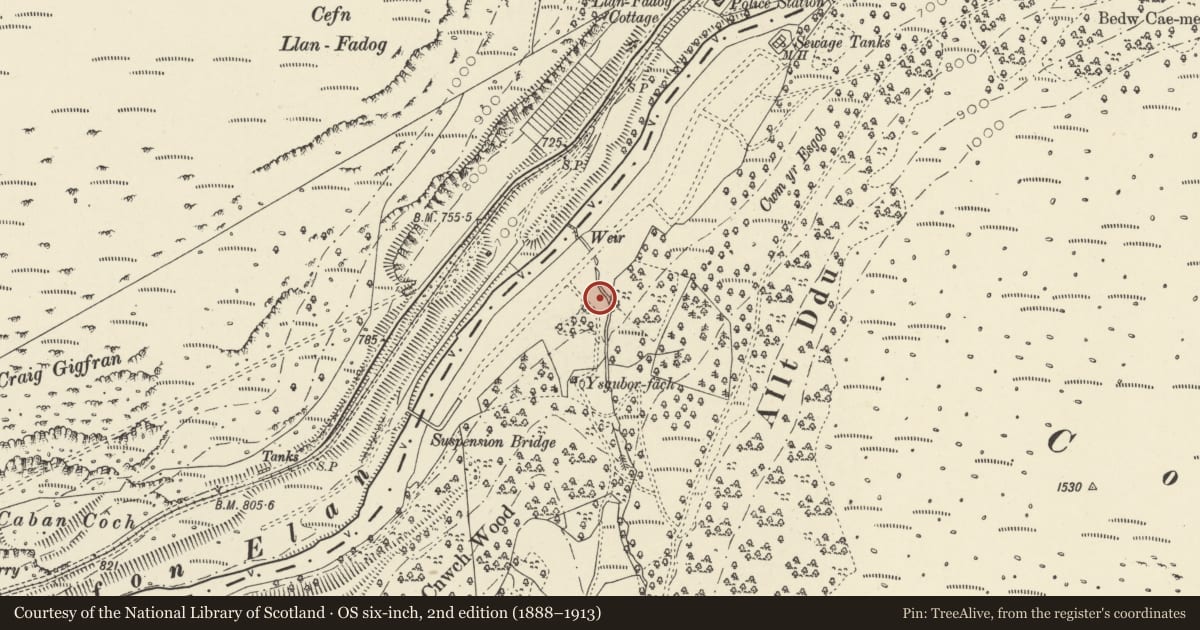
5 historical maps cover this location, the earliest the 1608 map "(13) Cambriae Typus." (David Rumsey Map Collection, Stanford Libraries).
Historical maps covering this location
- 1608 · (13) Cambriae Typus. (David Rumsey Map Collection, Stanford Libraries)
- 1637 · Particular description of Wales. Cambria seu Wallia (David Rumsey Map Collection, Stanford Libraries)
- 1883 · Watershed map England, Wales 3. (David Rumsey Map Collection, Stanford Libraries)
- 1898 · 179 Rhyader (Hills) (David Rumsey Map Collection, Stanford Libraries)
- 1901 · Sheet 14. (David Rumsey Map Collection, Stanford Libraries)
Cadw's description
Location
Above village street, facing up hill towards former school.
History
Detached house built by City of Birmingham for maintenance workers at Elan Valley reservoir scheme. Designed between 1906 and 1909 by Buckland, Haywood, & Farmer, architects, of Birmingham.
Exterior
Arts & Crafts style detached house. Two storeys. Brown rubble with bathstone dressings, slate roof. Mullioned windows (casements renewed). Entrance front has slightly advanced central bay (with entrance doorway) which runs up as gabled dormer with 2-light window. Splayed bay window to each side. Left gabled end has first floor 3-light window, and ground floor 2-light window. Rear has block with 2 large gables, and tall chimney at angle between this and R gable end. Large chimney to far side.
To rear is detached outbuilding with hipped slate roof, and chimney.
Reason for designation
High quality early C20 Arts & Crafts house, forming part of group of Garden Village buildings in Elan Village.
Group value.
Nearby in the register
- No 2Domesticunder 1 mi
- Shelter and FountainGardens, Parks and Urban Spacesunder 1 mi
- Elan Valley LodgeDomesticunder 1 mi
- Small Stone BridgeTransportunder 1 mi
Other entries of the same register within about three miles of this one, by straight line.