Cof Cymru: National Historic Assets of Wales · Wales
Cowhouse forming N side of Farmyard at Dyffryn Farm
Meifod, Powys, Wales
A Grade II listed building in Dyffryn, Meifod, Powys, designated on 26 May 1995.
The record
- Designation
- Listed building, Grade II
- Broad class
- Agriculture and Subsistence
- Date of designation
- 26 May 1995
- Locality
- Dyffryn
- Community
- Meifod
- Unitary authority
- Powys
- Country
- Wales
- Coordinates
- 52.70641, -3.26250
- Cadw reference
- 15970
Slide toward Today to fade the historical sheet and see the modern map underneath.
David Rumsey Map Collection, Stanford LibrariesDavid Rumsey Map Collection, Stanford LibrariesDavid Rumsey Map Collection, Stanford LibrariesLlyfrgell Genedlaethol Cymru – The National Library of WalesDavid Rumsey Map Collection, Stanford Libraries
5 historical maps cover this location, the earliest the 1795 map "To Sir Watkin Williams-Wynn Bart ... the map of the six counties of North Wales is most humbly inscribed by his obedient humble servant" (Llyfrgell Genedlaethol Cymru – The National Library of Wales).
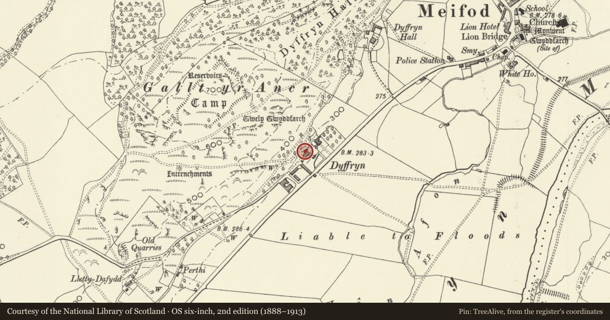
Historical maps covering this location
- 1795 · To Sir Watkin Williams-Wynn Bart ... the map of the six counties of North Wales is most… (Llyfrgell Genedlaethol Cymru – The National Library of Wales)
- 1883 · Watershed map England, Wales 3. (David Rumsey Map Collection, Stanford Libraries)
- 1899 · 151 Welshpool (Hills) (David Rumsey Map Collection, Stanford Libraries)
- 1901 · Sheet 9 and 10. (David Rumsey Map Collection, Stanford Libraries)
- 1916 · Sheet 60. Shrewsbury. (David Rumsey Map Collection, Stanford Libraries)
Cadw's description
Location
Located on the N side of the farmyard which forms an open 'U' off the main road.
Exterior
Cowhouse. C17. Timber framed with brick noggings replacing original lathing. Stone back wall and W gable. Random jointed slate roof.
Building is of 7 structural bays, of framing raised on a rendered stone sill wall, with heavy bressumer and angle braces to the wall plate. Two weatherboarded gables with pitching doors. The brick infill is laid with missing headers forming lozenge patterns vents in each panel of 4, 7, 8 and 9 holes.
Interior
Trusses consist of a tie beam, 3 queen struts, collar and angled struts to the principal rafters. At the E end, an open bay with the roof extended to the stone built stone building set at right angles and forming the eastern leg of the farmyard. Assembly marks formed with a chisel. The building now contains 23 calf stalls.
Reason for designation
Included as one member of an important group of farm buildings associated with Dyffryn farmhouse.
Nearby in the register
- Stone Building and Calf House, at the E side of the Farmyard at Dyffryn FarmAgriculture and Subsistenceunder 1 mi
- Cowhouse and Granary on W side of Farmyard at Dyffryn FarmAgriculture and Subsistenceunder 1 mi
- Dyffryn Farmhouse, (including railings, dwarf walls and gate piers at splayed entrance)Domesticunder 1 mi
- MaldwynDomesticunder 1 mi
Other entries of the same register within about three miles of this one, by straight line.