Cof Cymru: National Historic Assets of Wales · Wales
Bryn-Derwen Lodge
Meifod, Powys, Wales
A Grade II listed building in Meifod, Powys, designated on 26 May 1995.
The record
- Designation
- Listed building, Grade II
- Broad class
- Domestic
- Date of designation
- 26 May 1995
- Community
- Meifod
- Unitary authority
- Powys
- Country
- Wales
- Coordinates
- 52.75336, -3.22686
- Cadw reference
- 15961
Slide toward Today to fade the historical sheet and see the modern map underneath.
David Rumsey Map Collection, Stanford LibrariesDavid Rumsey Map Collection, Stanford LibrariesDavid Rumsey Map Collection, Stanford LibrariesDavid Rumsey Map Collection, Stanford LibrariesLlyfrgell Genedlaethol Cymru – The National Library of Wales
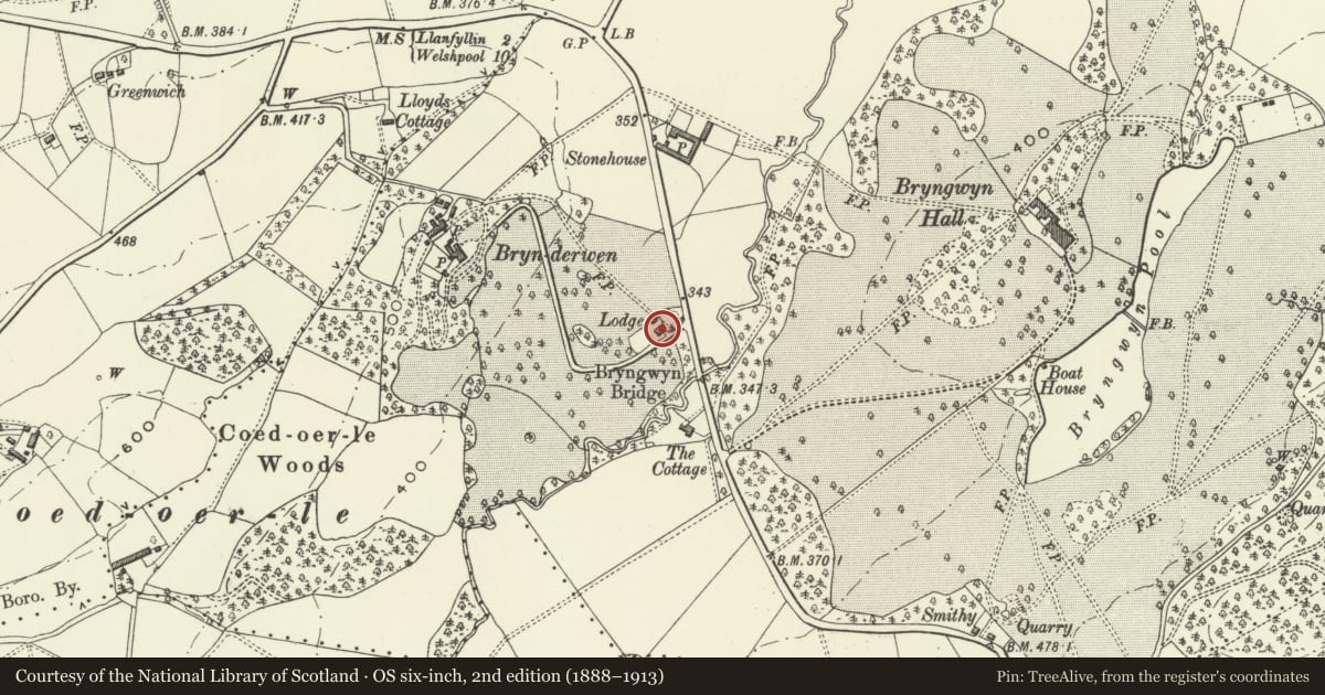
5 historical maps cover this location, the earliest the 1795 map "To Sir Watkin Williams-Wynn Bart ... the map of the six counties of North Wales is most humbly inscribed by his obedient humble servant" (Llyfrgell Genedlaethol Cymru – The National Library of Wales).
Historical maps covering this location
- 1795 · To Sir Watkin Williams-Wynn Bart ... the map of the six counties of North Wales is most… (Llyfrgell Genedlaethol Cymru – The National Library of Wales)
- 1883 · Watershed map England, Wales 3. (David Rumsey Map Collection, Stanford Libraries)
- 1897 · 137 Oswestry (Hills) (David Rumsey Map Collection, Stanford Libraries)
- 1901 · Sheet 9 and 10. (David Rumsey Map Collection, Stanford Libraries)
- 1916 · Sheet 60. Shrewsbury. (David Rumsey Map Collection, Stanford Libraries)
Cadw's description
Location
Located behind the entrance to the driveway to Bryn-derwen Hall.
Exterior
House, now two cottages, C17. Timber framed with colourwashed rendered infilling, modern tiled roof. Two storeys, two bays, Type A plan with a boarded door under a pent roof opposite the gable stack.
Framing 4 panels high with a heavy mid-wall bressumer. Paned timber windows. Framing painted on the rendered gable. Double purlin roof.
Entrance to No. 2 within a C20 conservatory attached to the W gable end. Large stone stack to rear.
Reason for designation
Included as a well preserved and conspicuously placed building of local traditional form.
Nearby in the register
- Bryn-Derwen HallDomesticunder 1 mi
- Stables & Coach House at Bryngwyn HallDomesticunder 1 mi
- Bryngwyn HallDomesticunder 1 mi
- Ysgubor Coed-Oer-LeAgriculture and Subsistenceunder 1 mi
Other entries of the same register within about three miles of this one, by straight line.