Cof Cymru: National Historic Assets of Wales · Wales
Churchyard of the Church of the Holy Cross
Y Ferwig, Ceredigion, Wales
A Grade II listed building in Mwnt, Y Ferwig, Ceredigion, designated on 6 March 1995.
The record
- Designation
- Listed building, Grade II
- Broad class
- Religious, Ritual and Funerary
- Date of designation
- 6 March 1995
- Locality
- Mwnt
- Community
- Y Ferwig
- Unitary authority
- Ceredigion
- Country
- Wales
- Coordinates
- 52.13696, -4.63888
- Cadw reference
- 15867
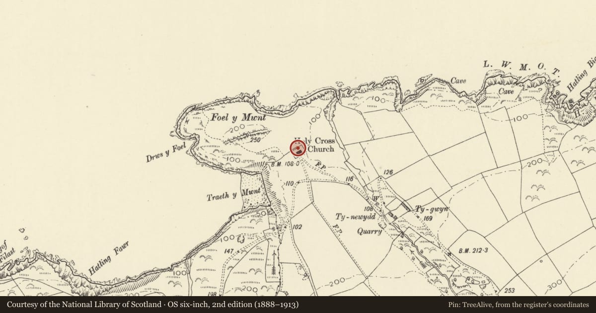
Slide toward Today to fade the historical sheet and see the modern map underneath.
David Rumsey Map Collection, Stanford LibrariesDavid Rumsey Map Collection, Stanford LibrariesDavid Rumsey Map Collection, Stanford LibrariesDavid Rumsey Map Collection, Stanford LibrariesDavid Rumsey Map Collection, Stanford Libraries
5 historical maps cover this location, the earliest the 1608 map "(13) Cambriae Typus." (David Rumsey Map Collection, Stanford Libraries).
Historical maps covering this location
- 1608 · (13) Cambriae Typus. (David Rumsey Map Collection, Stanford Libraries)
- 1637 · Particular description of Wales. Cambria seu Wallia (David Rumsey Map Collection, Stanford Libraries)
- 1830 · V.3:11-15:XV. Britisches Reich. A. Kon: England. b. Frstenthum Wales: Shire: 37-40 (David Rumsey Map Collection, Stanford Libraries)
- 1883 · Watershed map England, Wales 3. (David Rumsey Map Collection, Stanford Libraries)
- 1898 · 193 Cardigan (Hills) (David Rumsey Map Collection, Stanford Libraries)
Cadw's description
Location
Situated above and some 125m NW of Mwnt beach under Foel y Mwnt.
History
Churchyard of C13 church.
Exterior
Rectangular church yard of C13 church surrounded by rubblestone based embankment eroded on N. Rendered outbuilding with imitation slate roof in SE corner. Entrance through two rounded and whitewashed rubblestone piers with iron spear-headed gate.
Reason for designation
Listed for group value with Church of the Holy Cross.
Nearby in the register
- Church of the Holy CrossReligious, Ritual and Funeraryunder 1 mi
- Lime Kiln at MwntIndustrialunder 1 mi
- Crug Farmhouse Crug FarmDomestic1 mi
- Crug-Bychan Round BarrowRound Barrow1 mi
Other entries of the same register within about three miles of this one, by straight line.