Cof Cymru: National Historic Assets of Wales · Wales
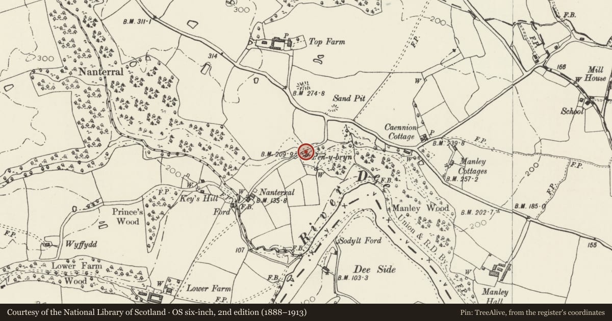
Plas Pen-y-Bryn
Erbistock, Wrexham, Wales
A Grade II listed building in Erbistock, Wrexham, designated on 7 June 1963.
The record
- Designation
- Listed building, Grade II
- Broad class
- Domestic
- Date of designation
- 7 June 1963
- Community
- Erbistock
- Unitary authority
- Wrexham
- Country
- Wales
- Coordinates
- 52.97002, -2.97745
- Cadw reference
- 1583
Slide toward Today to fade the historical sheet and see the modern map underneath.
David Rumsey Map Collection, Stanford LibrariesDavid Rumsey Map Collection, Stanford LibrariesDavid Rumsey Map Collection, Stanford LibrariesDavid Rumsey Map Collection, Stanford LibrariesDavid Rumsey Map Collection, Stanford Libraries
5 historical maps cover this location, the earliest the 1608 map "(13) Cambriae Typus." (David Rumsey Map Collection, Stanford Libraries).
Historical maps covering this location
- 1608 · (13) Cambriae Typus. (David Rumsey Map Collection, Stanford Libraries)
- 1883 · Watershed map England, Wales 3. (David Rumsey Map Collection, Stanford Libraries)
- 1898 · 121 Wrexham (Hills) (David Rumsey Map Collection, Stanford Libraries)
- 1898 · 121 Wrexham (Outline) (David Rumsey Map Collection, Stanford Libraries)
- 1901 · Sheet 9 and 10. (David Rumsey Map Collection, Stanford Libraries)
Cadw's description
History
1649.
Exterior
Timber-framed brick-nogged house with modern brick facing south, and with lean-to, north. 2 storeys, 2 windows. Old slate roof. Interior:- Ground floor; Bevelled beams and stop-bevelled joists. Wide-boarded doors. Wide fireplace with new grate. Fist floor; Post carved with date 1649. Wide oak flooring. Wide-boarded doors with old strap hinges.
Nearby in the register
- Manley HallDomesticunder 1 mi
- WyfyddDomesticunder 1 mi
- Erbistock HallDomesticunder 1 mi
- Dovecote at Erbistock HallDomesticunder 1 mi
Other entries of the same register within about three miles of this one, by straight line.