Cof Cymru: National Historic Assets of Wales · Wales
Dovecote to NW of Trederwyn House
Llandrinio, Powys, Wales
A Grade II listed building in Ardd-Lin, Llandrinio, Powys, designated on 29 December 1994.
The record
- Designation
- Listed building, Grade II
- Broad class
- Domestic
- Date of designation
- 29 December 1994
- Locality
- Ardd-Lin
- Community
- Llandrinio
- Unitary authority
- Powys
- Country
- Wales
- Coordinates
- 52.73485, -3.10196
- Cadw reference
- 15410
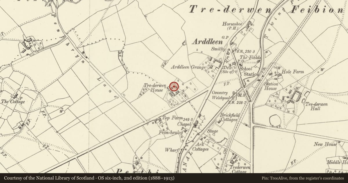
Slide toward Today to fade the historical sheet and see the modern map underneath.
David Rumsey Map Collection, Stanford LibrariesDavid Rumsey Map Collection, Stanford LibrariesDavid Rumsey Map Collection, Stanford LibrariesDavid Rumsey Map Collection, Stanford LibrariesLlyfrgell Genedlaethol Cymru – The National Library of Wales
5 historical maps cover this location, the earliest the 1795 map "To Sir Watkin Williams-Wynn Bart ... the map of the six counties of North Wales is most humbly inscribed by his obedient humble servant" (Llyfrgell Genedlaethol Cymru – The National Library of Wales).
Historical maps covering this location
- 1795 · To Sir Watkin Williams-Wynn Bart ... the map of the six counties of North Wales is most… (Llyfrgell Genedlaethol Cymru – The National Library of Wales)
- 1883 · Watershed map England, Wales 3. (David Rumsey Map Collection, Stanford Libraries)
- 1899 · 151 Welshpool (Hills) (David Rumsey Map Collection, Stanford Libraries)
- 1901 · Sheet 9 and 10. (David Rumsey Map Collection, Stanford Libraries)
- 1916 · Sheet 60. Shrewsbury. (David Rumsey Map Collection, Stanford Libraries)
Cadw's description
Location
The buildings lies to the north of the farmyard behind the house.
Exterior
Dovecote, C17-C18. Stone, with pyramid tiled roof. A small elevated chamber accessed by a flight of 10 external stone steps, with a boarded access door and flight holes on S face. Iron wind vane. Internally, two ranges of five wooden nest boxes.
Reason for designation
A very unusual structure for a small number of nestboxes.
Nearby in the register
- Trederwen HouseDomesticunder 1 mi
- ManseDomesticunder 1 mi
- Presbyterian ChapelReligious, Ritual and Funeraryunder 1 mi
- Milestone at roadside to SE of Montgomeryshire CanalTransportunder 1 mi
Other entries of the same register within about three miles of this one, by straight line.