Cof Cymru: National Historic Assets of Wales · Wales
26 The Village
Clyro, Powys, Wales
A Grade II listed building in Clyro, Powys, designated on 31 January 1995.
The record
- Designation
- Listed building, Grade II
- Broad class
- Domestic
- Date of designation
- 31 January 1995
- Locality
- Clyro
- Community
- Clyro
- Unitary authority
- Powys
- Country
- Wales
- Coordinates
- 52.08762, -3.14997
- Cadw reference
- 15313
Slide toward Today to fade the historical sheet and see the modern map underneath.
David Rumsey Map Collection, Stanford LibrariesDavid Rumsey Map Collection, Stanford LibrariesDavid Rumsey Map Collection, Stanford LibrariesDavid Rumsey Map Collection, Stanford LibrariesDavid Rumsey Map Collection, Stanford Libraries
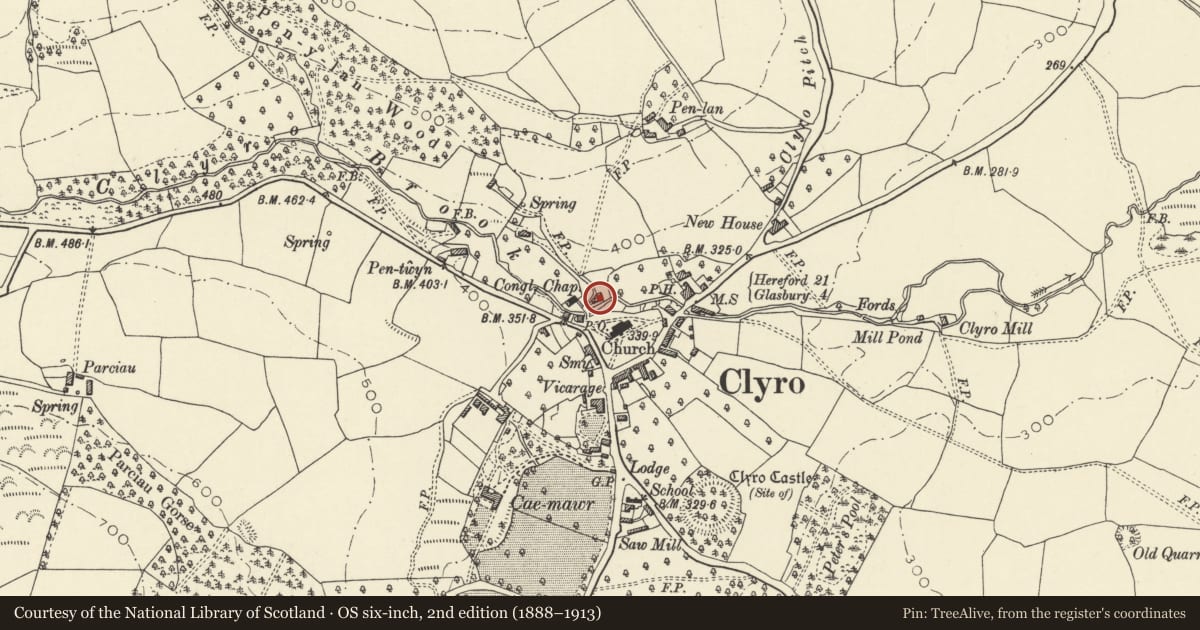
5 historical maps cover this location, the earliest the 1608 map "(13) Cambriae Typus." (David Rumsey Map Collection, Stanford Libraries).
Historical maps covering this location
- 1608 · (13) Cambriae Typus. (David Rumsey Map Collection, Stanford Libraries)
- 1636 · Cornubia : Devonia, Somersetus, Dorcestria, Wiltonia, Glocestria ... (David Rumsey Map Collection, Stanford Libraries)
- 1637 · Particular description of Wales. Cambria seu Wallia (David Rumsey Map Collection, Stanford Libraries)
- 1898 · 197 Hay (Hills) (David Rumsey Map Collection, Stanford Libraries)
- 1901 · Sheet 14. (David Rumsey Map Collection, Stanford Libraries)
Cadw's description
Location
On the edge of the village centre overlooking the churchyard on the opposite bank of the Clyro Brook.
Exterior
C18 2-storey pair of rubble cottages with hipped slate roof. Distinctive and tall corner chimney stack to the rear of No 25. Later stack to No 26 heightened in brick.
No 26 has a rendered front but render removed on No 25. Modern glazing inserted into original openings with voussoir lintels. Lean-tos at either end and No 25 has an added gabled porch. Tall staircase windows to the colourwashed rubble rear elevations.
Reason for designation
Included for group value with other listed items around the churchyard in Clyro village.
Nearby in the register
- 25 The VillageDomesticunder 1 mi
- Church of Saint Michael and All AngelsReligious, Ritual and Funeraryunder 1 mi
- 21 The VillageDomesticunder 1 mi
- 20 The VillageDomesticunder 1 mi
Other entries of the same register within about three miles of this one, by straight line.