Cof Cymru: National Historic Assets of Wales · Wales
Rhyl No.1 Signal Box
Rhyl, Denbighshire, Wales
A Grade II listed building in Rhyl, Denbighshire, designated on 7 August 1990.
The record
- Designation
- Listed building, Grade II
- Broad class
- Transport
- Date of designation
- 7 August 1990
- Community
- Rhyl
- Unitary authority
- Denbighshire
- Country
- Wales
- Coordinates
- 53.31991, -3.48581
- Cadw reference
- 1515
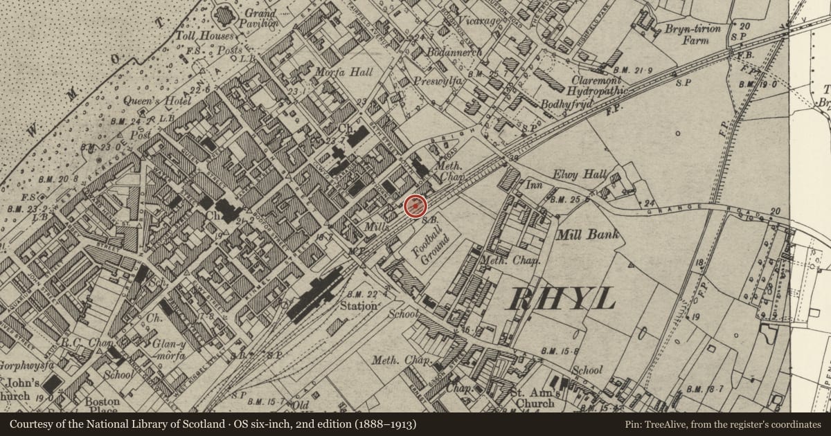
Slide toward Today to fade the historical sheet and see the modern map underneath.
David Rumsey Map Collection, Stanford LibrariesDavid Rumsey Map Collection, Stanford LibrariesNational Library of ScotlandDavid Rumsey Map Collection, Stanford LibrariesNational Library of Scotland
5 historical maps cover this location, the earliest the 1883 map "Watershed map England, Wales 3." (David Rumsey Map Collection, Stanford Libraries).
Historical maps covering this location
- 1883 · Watershed map England, Wales 3. (David Rumsey Map Collection, Stanford Libraries)
- 1898 · 95 Rhyl (Hills) (David Rumsey Map Collection, Stanford Libraries)
- 1901 · Sheet 9 and 10. (David Rumsey Map Collection, Stanford Libraries)
- 1930 · OS Popular Edition 1919-1947 (National Library of Scotland)
- 1963 · Map No. 36 - Local Government Commission for Wales : [Definitive maps showing proposed… (National Library of Scotland)
Cadw's description
Location
Sited approximately 100 metres to E of the long up-platform at Rhyl Railway Station; set back slightly from the trackside with large yard to the rear reached from Morley Road.
History
Dateable to c1900, when major improvements to the main lines and goods yards were completed by LNWR. Rhyl No 1 is of Saxby and Farmer LNW box type 4, and of similar, though smaller design, to that of Rhyl No 2.
Exterior
Tall 3-storey, 4-bay box with slates to gabled roof with flush bargeboards and inset finials set directly over weatherboarding of operating floor. Oversailing eaves to long sides with cantilvered catwalk on metal brackets to trackside. Four-pane timber sliding sashes in continuous band to operating room. Lower storeys of variegated red brickwork with blue brick sill bands and paired cambered headed windows in 2-storey panels with header corbels. Top storey of rear elevation has 2 short sections of cantilevered walkways to windows and cantilevered cubicle to W gable end with vertical ladder and boarded door.
Lever frames removed.
Reason for designation
One of an impressive pair of signal boxes flanking the station.
Nearby in the register
- English Methodist Church with former Sunday SchoolReligious, Ritual and Funeraryunder 1 mi
- Former Manse to English Methodist ChurchReligious, Ritual and Funeraryunder 1 mi
- Bellevue TerraceDomesticunder 1 mi
- 52 Bath StreetDomesticunder 1 mi
Other entries of the same register within about three miles of this one, by straight line.