Cof Cymru: National Historic Assets of Wales · Wales
24 The Highway
Hawarden, Flintshire, Wales
A Grade II listed building in Hawarden, Flintshire, designated on 16 November 1994.
The record
- Designation
- Listed building, Grade II
- Broad class
- Domestic
- Date of designation
- 16 November 1994
- Community
- Hawarden
- Unitary authority
- Flintshire
- Country
- Wales
- Coordinates
- 53.18475, -3.02729
- Cadw reference
- 15085
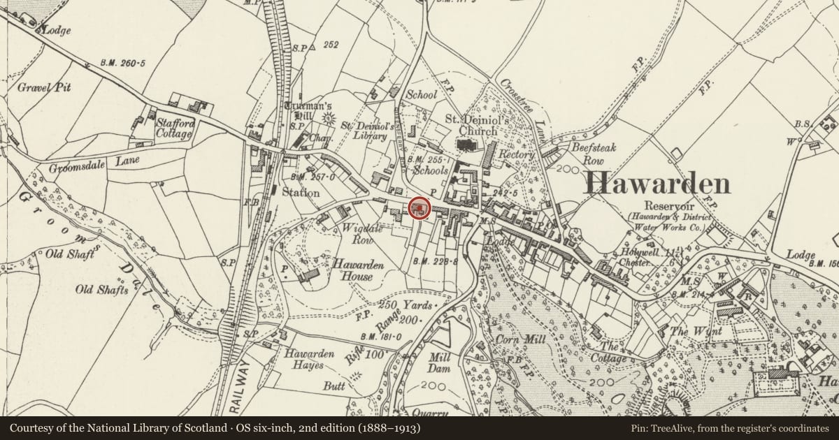
Slide toward Today to fade the historical sheet and see the modern map underneath.
David Rumsey Map Collection, Stanford LibrariesDavid Rumsey Map Collection, Stanford LibrariesDavid Rumsey Map Collection, Stanford LibrariesDavid Rumsey Map Collection, Stanford LibrariesLlyfrgell Genedlaethol Cymru – The National Library of Wales
5 historical maps cover this location, the earliest the 1795 map "To Sir Watkin Williams-Wynn Bart ... the map of the six counties of North Wales is most humbly inscribed by his obedient humble servant" (Llyfrgell Genedlaethol Cymru – The National Library of Wales).
Historical maps covering this location
- 1795 · To Sir Watkin Williams-Wynn Bart ... the map of the six counties of North Wales is most… (Llyfrgell Genedlaethol Cymru – The National Library of Wales)
- 1883 · Watershed map England, Wales 3. (David Rumsey Map Collection, Stanford Libraries)
- 1898 · 108 Flint (Hills) (David Rumsey Map Collection, Stanford Libraries)
- 1898 · 108 Flint (Outline) (David Rumsey Map Collection, Stanford Libraries)
- 1901 · Sheet 9 and 10. (David Rumsey Map Collection, Stanford Libraries)
Cadw's description
Location
At the junction of the road with Mossley Court.
Exterior
A small 2-storey early C19 cottage under a shallow-pitched slate roof. Stone copings to W gable, with moulded kneeler to main front. Dentilated eaves and narrow, plain eaves cornice. Plain rendered end-chimney to W. Off-set central entrance with cambered head and contemporary 5-panelled door. Flanking windows on both floors, those on the ground floor with cambered heads. 12-pane liding sashes. Open arch to R where cottage adjoins Ashwood House
to the E. Rear 2-storey projection to W forming an L with the main lock.Rendered brick with plain eaves. Entrance with cambered head and plain door. To the L two windows, that on the first floor a 12 pane casement, and that on the ground floor a later 6-pane fixed one. Modern window above door.
Reason for designation
Included for its unaltered facade in a prominent location.
Nearby in the register
- The War MemorialCommemorativeunder 1 mi
- The Village PumpGardens, Parks and Urban Spacesunder 1 mi
- 17 The HighwayDomesticunder 1 mi
- The Gladstone MonumentCommemorativeunder 1 mi
Other entries of the same register within about three miles of this one, by straight line.