Cof Cymru: National Historic Assets of Wales · Wales
Penhelig Lodge
Aberdovey, Gwynedd, Wales
A Grade II listed building in Aberdyfi, Aberdovey, Gwynedd, designated on 14 October 1994.
The record
- Designation
- Listed building, Grade II
- Broad class
- Domestic
- Date of designation
- 14 October 1994
- Locality
- Aberdyfi
- Community
- Aberdovey
- Unitary authority
- Gwynedd
- Country
- Wales
- Coordinates
- 52.54592, -4.03495
- Cadw reference
- 14963
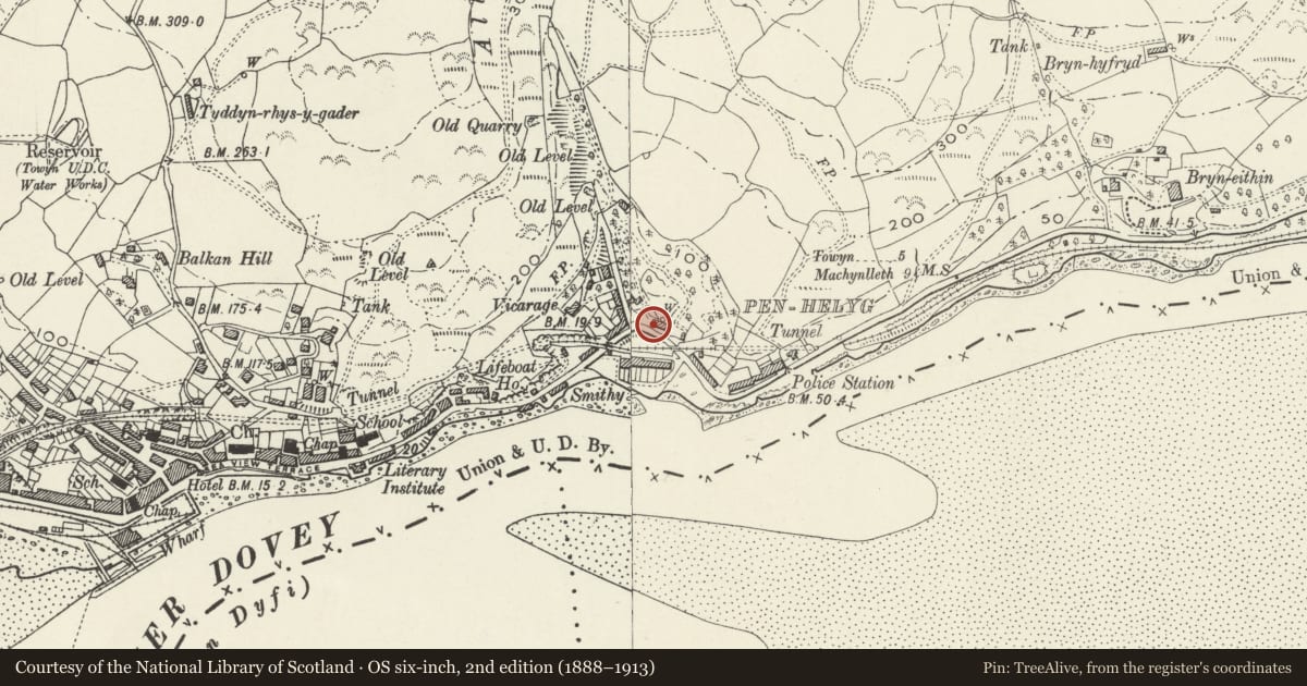
Slide toward Today to fade the historical sheet and see the modern map underneath.
David Rumsey Map Collection, Stanford LibrariesDavid Rumsey Map Collection, Stanford LibrariesDavid Rumsey Map Collection, Stanford LibrariesDavid Rumsey Map Collection, Stanford LibrariesDavid Rumsey Map Collection, Stanford Libraries
5 historical maps cover this location, the earliest the 1608 map "(13) Cambriae Typus." (David Rumsey Map Collection, Stanford Libraries).
Historical maps covering this location
- 1608 · (13) Cambriae Typus. (David Rumsey Map Collection, Stanford Libraries)
- 1830 · V.3:11-15:XV. Britisches Reich. A. Kon: England. b. Frstenthum Wales: Shire: 37-40 (David Rumsey Map Collection, Stanford Libraries)
- 1883 · Watershed map England, Wales 3. (David Rumsey Map Collection, Stanford Libraries)
- 1896 · Sheet 7. Ordnance Survey of England and Wales. (David Rumsey Map Collection, Stanford Libraries)
- 1901 · Sheet 14. (David Rumsey Map Collection, Stanford Libraries)
Cadw's description
Location
To N of Penhelig railway halt.
History
Early C19 terrace of 3 houses, shown on early engravings of Aberdyfi, circa 1837. Originally three 3-window houses like central house, at one stage school, from later C19 altered to become lodge of Penhelig House (early C20 photos show upper storey with applied half-timbering).
Exterior
Two storeys, rubble, rendered ground floor with band course between floors,
slate roof with 4 small rendered chimneys. L house has two windows with first floor small-pane sashes set at eaves; on ground floor, to L small-pane sash window, to R doorway. Central house has, on first floor, three 9-pane hornless sash windows; on ground floor, central doorway flanked by small-pane sash windows. R house has two windows with first floor small-pane sashes set at eaves; ground floor has 2 tripartite casement windows to front, small-pane sah to R end. To rear of L house, extension with gabled half-timbered oriel
Nearby in the register
- Penhelig LodgeDomesticunder 1 mi
- Penhelig LodgeDomesticunder 1 mi
- Mervinia TerraceDomesticunder 1 mi
- Ty FferiDomesticunder 1 mi
Other entries of the same register within about three miles of this one, by straight line.