Cof Cymru: National Historic Assets of Wales · Wales
Outbuildings S of Rosehill
Llangoedmor, Ceredigion, Wales
A Grade II listed building in Rose Hill, Llangoedmor, Ceredigion, designated on 10 August 1994.
The record
- Designation
- Listed building, Grade II
- Broad class
- Domestic
- Date of designation
- 10 August 1994
- Locality
- Rose Hill
- Community
- Llangoedmor
- Unitary authority
- Ceredigion
- Country
- Wales
- Coordinates
- 52.07476, -4.64086
- Cadw reference
- 14799
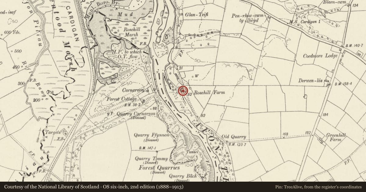
Slide toward Today to fade the historical sheet and see the modern map underneath.
David Rumsey Map Collection, Stanford LibrariesDavid Rumsey Map Collection, Stanford LibrariesDavid Rumsey Map Collection, Stanford LibrariesDavid Rumsey Map Collection, Stanford LibrariesDavid Rumsey Map Collection, Stanford Libraries
5 historical maps cover this location, the earliest the 1608 map "(13) Cambriae Typus." (David Rumsey Map Collection, Stanford Libraries).
Historical maps covering this location
- 1608 · (13) Cambriae Typus. (David Rumsey Map Collection, Stanford Libraries)
- 1637 · Particular description of Wales. Cambria seu Wallia (David Rumsey Map Collection, Stanford Libraries)
- 1830 · V.3:11-15:XV. Britisches Reich. A. Kon: England. b. Frstenthum Wales: Shire: 37-40 (David Rumsey Map Collection, Stanford Libraries)
- 1898 · 193 Cardigan (Hills) (David Rumsey Map Collection, Stanford Libraries)
- 1901 · Sheet 13. (David Rumsey Map Collection, Stanford Libraries)
Cadw's description
Location
Situated immediately SE of house.
Exterior
Earlier C19 outbuilding in coursed Cilgerran stone, formerly colourwashed with graded slate roof. L-plan with tall gabled wing coming forward at NE with high round arched entry and cut-stone voussoirs. This is probably an addition to rear range, which is lofted. Front to right of projection has blocked window in angle with cut-stone voussoirs and voussoirs of door to right, but widened with timber lintel to form cart-entry. One loft window to left of centre with timber lintel. Loft entry at E end with stone voussoirs, window at W end, formerly a door. Gabled projection has two-bay pegged collar-truss roof. Main range has four collar trusses.
Roof in poor condition at time of inspection (Spring 1994).
Reason for designation
Group value with house, arch is of unusual height for a cart or carriage entry.
Nearby in the register
- RoseHillDomesticunder 1 mi
- DerwenlasDomesticunder 1 mi
- Walled Garden at Plas LlangoedmorDomesticunder 1 mi
- Plas LlangoedmoreDomesticunder 1 mi
Other entries of the same register within about three miles of this one, by straight line.