Cof Cymru: National Historic Assets of Wales · Wales
Screen Wall to Soldier's Point House
Holyhead, Isle of Anglesey, Wales
A Grade II listed building in Soldier's Point, Holyhead, Isle of Anglesey, designated on 25 July 1994.
The record
- Designation
- Listed building, Grade II
- Broad class
- Domestic
- Date of designation
- 25 July 1994
- Locality
- Soldier's Point
- Community
- Holyhead
- Unitary authority
- Isle of Anglesey
- Country
- Wales
- Coordinates
- 53.32020, -4.64900
- Cadw reference
- 14761
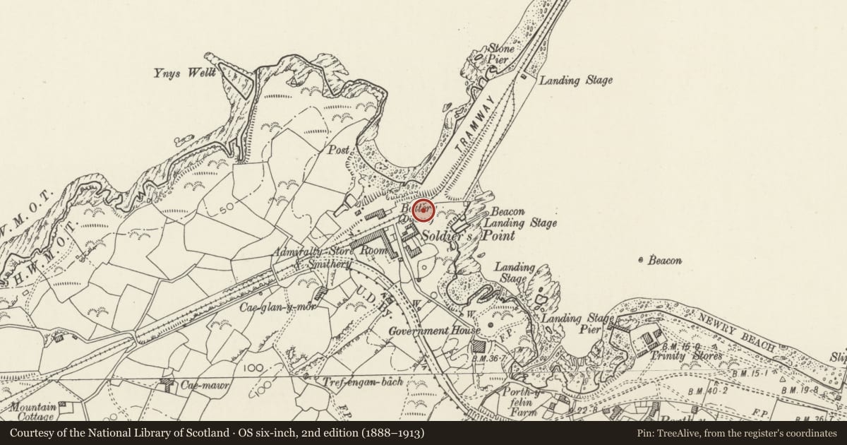
Slide toward Today to fade the historical sheet and see the modern map underneath.
David Rumsey Map Collection, Stanford LibrariesDavid Rumsey Map Collection, Stanford LibrariesDavid Rumsey Map Collection, Stanford LibrariesDavid Rumsey Map Collection, Stanford LibrariesDavid Rumsey Map Collection, Stanford Libraries
5 historical maps cover this location, the earliest the 1799 map "Ireland." (David Rumsey Map Collection, Stanford Libraries).
Historical maps covering this location
- 1799 · Ireland. (David Rumsey Map Collection, Stanford Libraries)
- 1883 · Watershed map England, Wales 3. (David Rumsey Map Collection, Stanford Libraries)
- 1899 · 93 Holyhead (Hills) (David Rumsey Map Collection, Stanford Libraries)
- 1901 · Sheet 9 and 10. (David Rumsey Map Collection, Stanford Libraries)
- 1919 · Sheet 41. Anglesey. (David Rumsey Map Collection, Stanford Libraries)
Cadw's description
Location
To N and NW of Soldier’s Point House.
History
Elaborate castellated screen wall, circa 1849, house built for own use by Mr Rigby, contractor of Holyhead breakwater.
Exterior
Dark local rubble with quartz banding and dressings to arrow loops; rustic, garden architecture type battlements.
To N of house, on rocky outcrop, high octagonal tower, castellated, with white quartz band, machicolations, faces of octagon with cruciform loops outlined in white quartz, doorways with shallow arches. Wall steps down to E to low square tower with shallow arched doorway and continues to turret and then similar square tower. To E of this, wall turns slightly SE stepping down between round turrets, terminating in low square tower with shallow-arched doorways. To W of high octagonal tower, wall steps down to blocked gateway flanked by towers, continuing to pier where wall runs S to run down E side of lane in simpler style but with rustic crenellations between stone piers; gateway to rear yard of Soldier’s Point House.
Reason for designation
Included as impressive example of style, and for group value with Soldier’s Point House.
Group value.
Nearby in the register
- Soldier's Point HouseDomesticunder 1 mi
- Porthyfelin HouseDomesticunder 1 mi
- Trinity Yard Large WorkshopCommercialunder 1 mi
- Trinity House OfficeCommercialunder 1 mi
Other entries of the same register within about three miles of this one, by straight line.