Cof Cymru: National Historic Assets of Wales · Wales
3 Penrhyn Buildings
Colwyn Bay, Conwy, Wales
A Grade II listed building in Colwyn Bay, Conwy, designated on 25 July 1994.
The record
- Designation
- Listed building, Grade II
- Broad class
- Commercial
- Date of designation
- 25 July 1994
- Locality
- Colwyn Bay
- Community
- Colwyn Bay
- Unitary authority
- Conwy
- Country
- Wales
- Coordinates
- 53.29630, -3.72727
- Cadw reference
- 14692
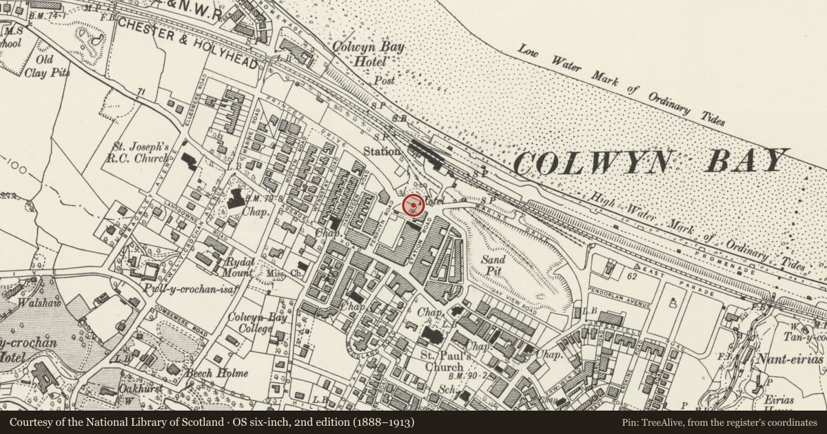
Slide toward Today to fade the historical sheet and see the modern map underneath.
David Rumsey Map Collection, Stanford LibrariesDavid Rumsey Map Collection, Stanford LibrariesNational Library of ScotlandDavid Rumsey Map Collection, Stanford LibrariesLlyfrgell Genedlaethol Cymru – The National Library of Wales
5 historical maps cover this location, the earliest the 1795 map "To Sir Watkin Williams-Wynn Bart ... the map of the six counties of North Wales is most humbly inscribed by his obedient humble servant" (Llyfrgell Genedlaethol Cymru – The National Library of Wales).
Historical maps covering this location
- 1795 · To Sir Watkin Williams-Wynn Bart ... the map of the six counties of North Wales is most… (Llyfrgell Genedlaethol Cymru – The National Library of Wales)
- 1883 · Watershed map England, Wales 3. (David Rumsey Map Collection, Stanford Libraries)
- 1898 · 95 Rhyl (Hills) (David Rumsey Map Collection, Stanford Libraries)
- 1900 · Denbighshire Sheet III.NE (National Library of Scotland)
- 1901 · Sheet 9 and 10. (David Rumsey Map Collection, Stanford Libraries)
Cadw's description
Location
On the corner of Penrhyn Road and Princes Drive.
History
Built c1930 (certainly before 1937), as a row of shops with accommodation over.
Reason for designation
Ambitiously composed on a prominent corner site, the development represents a well detailed example of the commercial architecture of its period, intergrating the Art Deco elements of the shop fronts within a loose Neo-georgian design; it survives almost intact.
Nearby in the register
- 1 Penrhyn BuildingsCommercialunder 1 mi
- 5 Penrhyn BuildingsCommercialunder 1 mi
- 7 Penrhyn BuildingsCommercialunder 1 mi
- 34 Penrhyn BuildingsCommercialunder 1 mi
Other entries of the same register within about three miles of this one, by straight line.