Cof Cymru: National Historic Assets of Wales · Wales
Railings and Entrance Gates at drive to Rhydgarnwen
Cilgerran, Pembrokeshire, Wales
A Grade II listed building in Llantood, Cilgerran, Pembrokeshire, designated on 15 April 1994.
The record
- Designation
- Listed building, Grade II
- Broad class
- Domestic
- Date of designation
- 15 April 1994
- Locality
- Llantood
- Community
- Cilgerran
- Unitary authority
- Pembrokeshire
- Country
- Wales
- Coordinates
- 52.05410, -4.69034
- Cadw reference
- 14525
Slide toward Today to fade the historical sheet and see the modern map underneath.
David Rumsey Map Collection, Stanford LibrariesDavid Rumsey Map Collection, Stanford LibrariesDavid Rumsey Map Collection, Stanford LibrariesDavid Rumsey Map Collection, Stanford LibrariesDavid Rumsey Map Collection, Stanford Libraries
5 historical maps cover this location, the earliest the 1608 map "(13) Cambriae Typus." (David Rumsey Map Collection, Stanford Libraries).
Historical maps covering this location
- 1608 · (13) Cambriae Typus. (David Rumsey Map Collection, Stanford Libraries)
- 1636 · Cornubia : Devonia, Somersetus, Dorcestria, Wiltonia, Glocestria ... (David Rumsey Map Collection, Stanford Libraries)
- 1830 · V.3:11-15:XV. Britisches Reich. A. Kon: England. b. Frstenthum Wales: Shire: 37-40 (David Rumsey Map Collection, Stanford Libraries)
- 1898 · 193 Cardigan (Hills) (David Rumsey Map Collection, Stanford Libraries)
- 1901 · Sheet 13. (David Rumsey Map Collection, Stanford Libraries)
Cadw's description
Location
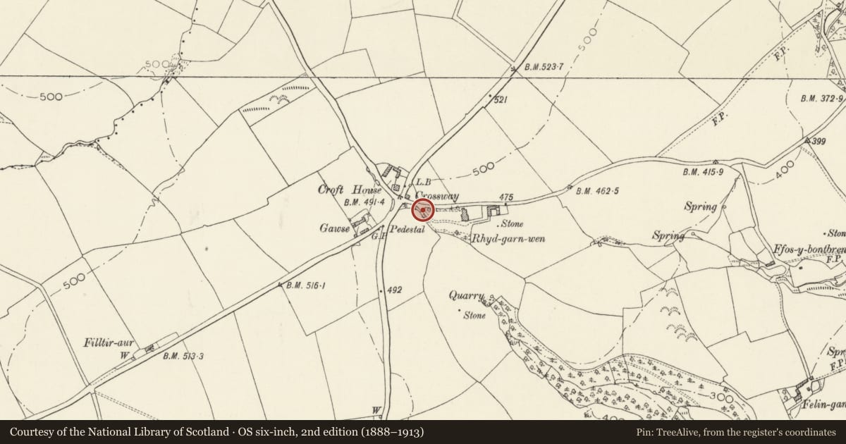
Situated at head of drive to Rhydgarnwen, some 90m E of Croft crossroads.
Exterior
Late C19 entrance gates and railings, two thin cast-iron piers, chamfered with plinth, cornice, pyramid cap with gablets and ball finial. Two spearhead iron gates downcurved to meeting stile, and with lower halves strengthened with opposed paired semicircular rails. Two sets of curving spearhead rails on low rubble walls with stone copings, the left set convex curved, the right concave curved.
Reason for designation
Included for group value with the house.
Nearby in the register
- RhydgarnwenDomesticunder 1 mi
- Castell Pen-yr-AlltCastleunder 1 mi
- TredefaidDomesticunder 1 mi
- Castell Felin-GanolPromontory Fort - inlandunder 1 mi
Other entries of the same register within about three miles of this one, by straight line.