Cof Cymru: National Historic Assets of Wales · Wales
Gate Piers and Gates to former Bryn-y-Pys Hall
Overton, Wrexham, Wales
A Grade II listed building in Overton, Wrexham, designated on 15 March 1994.
The record
- Designation
- Listed building, Grade II
- Broad class
- Domestic
- Date of designation
- 15 March 1994
- Community
- Overton
- Unitary authority
- Wrexham
- Country
- Wales
- Coordinates
- 52.97157, -2.93620
- Cadw reference
- 14468
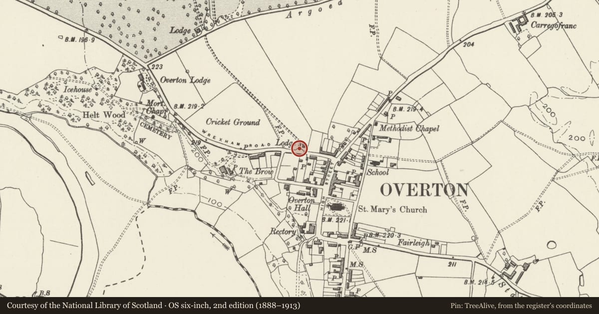
Slide toward Today to fade the historical sheet and see the modern map underneath.
David Rumsey Map Collection, Stanford LibrariesDavid Rumsey Map Collection, Stanford LibrariesDavid Rumsey Map Collection, Stanford LibrariesDavid Rumsey Map Collection, Stanford LibrariesDavid Rumsey Map Collection, Stanford Libraries
5 historical maps cover this location, the earliest the 1608 map "(13) Cambriae Typus." (David Rumsey Map Collection, Stanford Libraries).
Historical maps covering this location
- 1608 · (13) Cambriae Typus. (David Rumsey Map Collection, Stanford Libraries)
- 1637 · Particular description of Wales. Cambria seu Wallia (David Rumsey Map Collection, Stanford Libraries)
- 1830 · V.3:11-15:XV.Britisches Reich. A. Kon: England. a. England ab sich: Shire:15-17, 33 (David Rumsey Map Collection, Stanford Libraries)
- 1883 · Watershed map England, Wales 3. (David Rumsey Map Collection, Stanford Libraries)
- 1901 · Sheet 9 and 10. (David Rumsey Map Collection, Stanford Libraries)
Cadw's description
Location
At the western edge of the village, next to Bryn-y-Pys Lodge.
History
Gates and gate piers erected at the same time as the adjoining lodge, also to designs of John Douglas. They marked the entrance to Bryn-y-Pys, a country house which had been built or rebuilt in the mid C18, and was acquired by Edmund Peel in c1850 . The building of the lodge and gates may be set in the context of the considerable development of the estate which took place under his auspices.
Nearby in the register
- Bryn-y-Pys LodgeDomesticunder 1 mi
- Park ViewDomesticunder 1 mi
- The Old Smithy, including iron forecourt railingsNo class recordedunder 1 mi
- Bryn Cottage, including iron forecourt railingsNo class recordedunder 1 mi
Other entries of the same register within about three miles of this one, by straight line.