Cof Cymru: National Historic Assets of Wales · Wales
Building Slip No 2
Pembroke Dock, Pembrokeshire, Wales
A Grade II listed building in The Dockyard, Pembroke Dock, Pembrokeshire, designated on 18 January 1974.
The record
- Designation
- Listed building, Grade II
- Broad class
- Maritime
- Date of designation
- 18 January 1974
- Locality
- The Dockyard
- Community
- Pembroke Dock
- Unitary authority
- Pembrokeshire
- Country
- Wales
- Coordinates
- 51.69714, -4.95645
- Cadw reference
- 14392
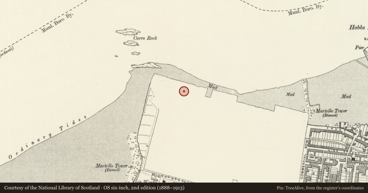
Slide toward Today to fade the historical sheet and see the modern map underneath.
David Rumsey Map Collection, Stanford LibrariesDavid Rumsey Map Collection, Stanford LibrariesDavid Rumsey Map Collection, Stanford LibrariesDavid Rumsey Map Collection, Stanford LibrariesDavid Rumsey Map Collection, Stanford Libraries
5 historical maps cover this location, the earliest the 1636 map "Cornubia : Devonia, Somersetus, Dorcestria, Wiltonia, Glocestria ..." (David Rumsey Map Collection, Stanford Libraries).
Historical maps covering this location
- 1636 · Cornubia : Devonia, Somersetus, Dorcestria, Wiltonia, Glocestria ... (David Rumsey Map Collection, Stanford Libraries)
- 1865 · England and Wales. England No. 6. (David Rumsey Map Collection, Stanford Libraries)
- 1891 · Sheet 10. Ordnance Survey of England and Wales. . (David Rumsey Map Collection, Stanford Libraries)
- 1898 · 228 Haverfordwest (Hills) (David Rumsey Map Collection, Stanford Libraries)
- 1901 · Sheet 13. (David Rumsey Map Collection, Stanford Libraries)
Cadw's description
Location
Situated at NW end of dockyard, between Slip No 1 and Graving Dock.
History
Slips Nos 1 and 2 were added after 1841 and before 1847-9 when the iron roofs were constructed by George Baker and Son (Report on Navy estimates House of Commons 28/7/1848). The length in 1858 was 265 feet, but 1877 map gives 310 feet.
Exterior
Circa 1845 shipbuilding slip, one of 4 remaining from the 13 listed in 1981. Limestone ashlar sides with granite copings, concrete bottom. Battered side walls with two high steps (or 'altars') ending at flight of granite steps each side at N end. Flight of steps in each side wall. N end has slot each side for caisson. Granite coping in three steps each side. S end has been remodelled in concrete, signs of earlier lengthening in rubble stone.
Reason for designation
Group value with other listed structures in Pembroke Dockyard.
Nearby in the register
- Building Slip No. 1Maritimeunder 1 mi
- The Graving Dock including Bollards and CpstansMaritimeunder 1 mi
- The Western CamberMaritimeunder 1 mi
- Former Foremen's OfficeCommercialunder 1 mi
Other entries of the same register within about three miles of this one, by straight line.