Cof Cymru: National Historic Assets of Wales · Wales
Summerhouse in the grounds of The Bryn
St. Asaph, Denbighshire, Wales
A Grade II listed building in Bryn, St. Asaph, Denbighshire, designated on 24 November 1987.
The record
- Designation
- Listed building, Grade II
- Broad class
- Gardens, Parks and Urban Spaces
- Date of designation
- 24 November 1987
- Locality
- Bryn
- Community
- St. Asaph
- Unitary authority
- Denbighshire
- Country
- Wales
- Coordinates
- 53.25941, -3.43647
- Cadw reference
- 1429
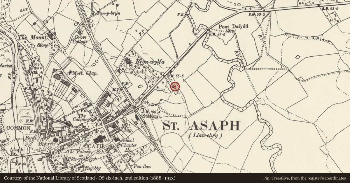
Slide toward Today to fade the historical sheet and see the modern map underneath.
David Rumsey Map Collection, Stanford LibrariesDavid Rumsey Map Collection, Stanford LibrariesLlyfrgell Genedlaethol Cymru – The National Library of WalesDavid Rumsey Map Collection, Stanford LibrariesDavid Rumsey Map Collection, Stanford Libraries
5 historical maps cover this location, the earliest the 1608 map "(13) Cambriae Typus." (David Rumsey Map Collection, Stanford Libraries).
Historical maps covering this location
- 1608 · (13) Cambriae Typus. (David Rumsey Map Collection, Stanford Libraries)
- 1795 · To Sir Watkin Williams-Wynn Bart ... the map of the six counties of North Wales is most… (Llyfrgell Genedlaethol Cymru – The National Library of Wales)
- 1830 · V.3:11-15:XV. Britisches Reich. A. Kon: England. b. Frstenthum Wales: Shire: 37-40 (David Rumsey Map Collection, Stanford Libraries)
- 1883 · Watershed map England, Wales 3. (David Rumsey Map Collection, Stanford Libraries)
- 1901 · Sheet 9 and 10. (David Rumsey Map Collection, Stanford Libraries)
Cadw's description
Location
Set in the wooded grounds to the N of the Bryn, reached from the rear drive; ground falls away steeply to E overlooking the Vale of Clwyd.
History
Probably early C19, Gothick summerhouse.
Exterior
English Garden Wall bond red brick, with the remains of a later roughcast rendering; hipped slate roof with overhanging eaves. Pointed windows with voussoirs, blocked below head making them almost triangular; central boarded door. Divided internally into two rooms.
Reason for designation
Group value with The Bryn.
Nearby in the register
- Sundial in the grounds of The BrynGardens, Parks and Urban Spacesunder 1 mi
- The BrynDomesticunder 1 mi
- The Court HouseDomesticunder 1 mi
- St. Asaph V.P. SchoolEducationunder 1 mi
Other entries of the same register within about three miles of this one, by straight line.