Cof Cymru: National Historic Assets of Wales · Wales
5&6 Park Place
Castle, Cardiff, Wales
A Grade II listed building in Castle, Cardiff, designated on 3 September 1984.
The record
- Designation
- Listed building, Grade II
- Broad class
- Commercial
- Date of designation
- 3 September 1984
- Community
- Castle
- Unitary authority
- Cardiff
- Country
- Wales
- Coordinates
- 51.48336, -3.17458
- Cadw reference
- 14102
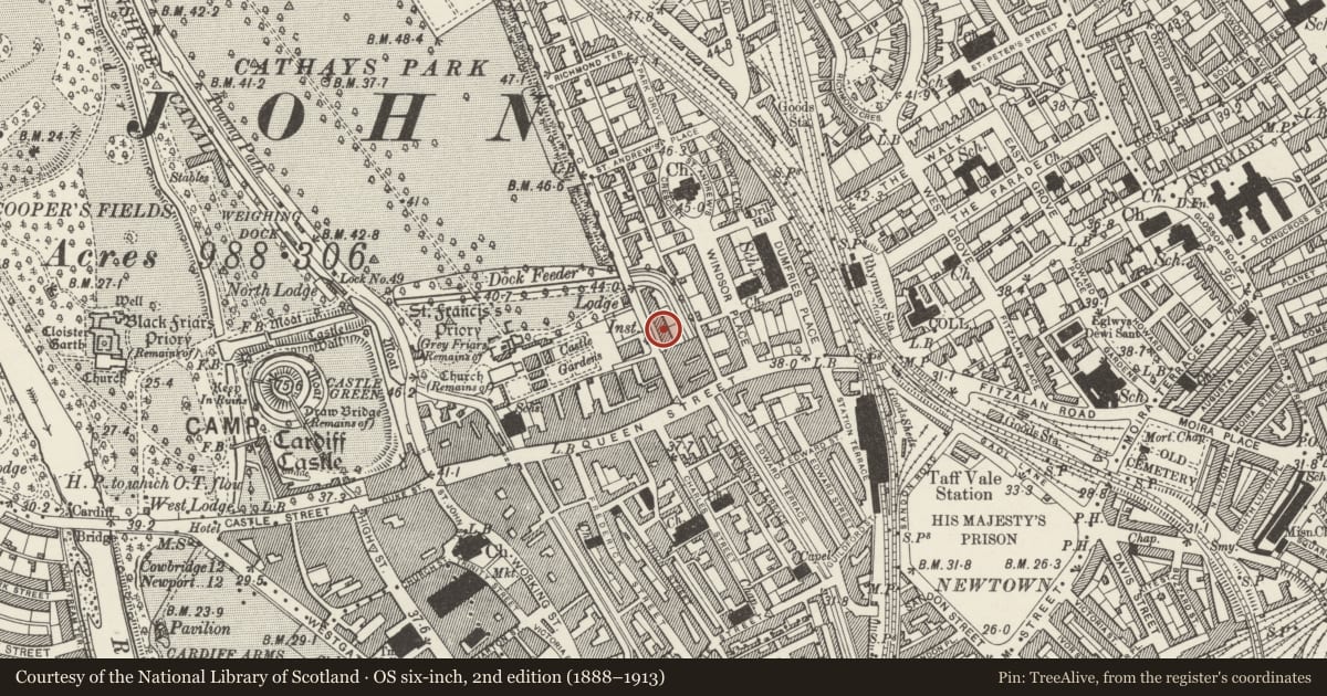
Slide toward Today to fade the historical sheet and see the modern map underneath.
David Rumsey Map Collection, Stanford LibrariesDavid Rumsey Map Collection, Stanford LibrariesDavid Rumsey Map Collection, Stanford LibrariesDavid Rumsey Map Collection, Stanford LibrariesDavid Rumsey Map Collection, Stanford Libraries
5 historical maps cover this location, the earliest the 1636 map "Cornubia : Devonia, Somersetus, Dorcestria, Wiltonia, Glocestria ..." (David Rumsey Map Collection, Stanford Libraries).
Historical maps covering this location
- 1636 · Cornubia : Devonia, Somersetus, Dorcestria, Wiltonia, Glocestria ... (David Rumsey Map Collection, Stanford Libraries)
- 1865 · England and Wales. England No. 6. (David Rumsey Map Collection, Stanford Libraries)
- 1895 · Sheet 11. Ordnance Survey of England and Wales. (David Rumsey Map Collection, Stanford Libraries)
- 1898 · 263 Cardiff (Hills) (David Rumsey Map Collection, Stanford Libraries)
- 1913 · Sheet 110. Cardiff & Mouth of the Severn. (David Rumsey Map Collection, Stanford Libraries)
Cadw's description
Location
Almost opposite Greyfriars' Road.
History
Circa 1876, by W D Blessley, architect. Restored 1987-89 by Wigley Fox Partnership.
Exterior
Large Gothic semi-detached pair of houses, now modernised as offices. Three storeys, attic and basement. Snecked Pennant rubble with freestone dressings and weathered stringcourses. Hipped slate roofs, central chimney in red brick with stone upper courses. Sash glazing set in mullioned windows. Four windows wide; paired splayed bays to centre stop at first floor. Tall stone dormers with Gothic window and flanking shafts with carved capitals; smaller outer dormers.
Second floor has 3-light windows with cusped lights, and single-light windows to outer bays. First floor has fretted parapet to splayed bays, shouldered-arched windows with carved capitals. Gothic-arched entrances in outer ground floor bays up parapetted stairs; corbelled gabled hoods with carved capitals to wall shafts. Gothic windows to bays at this level. End elevations have projecting cut down chimney stacks.
Reason for designation
Part of a group of well-preserved High Victorian middle-class houses in city centre.
Group value with adjacent listed buildings.
Nearby in the register
- 7&8 Park PlaceDomesticunder 1 mi
- 3&4 Park PalceCommercialunder 1 mi
- 9&10 Park PlaceDomesticunder 1 mi
- Brannigan's including forecourt walls and railingsRecreationalunder 1 mi
Other entries of the same register within about three miles of this one, by straight line.