Cof Cymru: National Historic Assets of Wales · Wales
Joyland House
Castle, Cardiff, Wales
A Grade II listed building in Castle, Cardiff, designated on 24 June 1986.
The record
- Designation
- Listed building, Grade II
- Broad class
- Commercial
- Date of designation
- 24 June 1986
- Community
- Castle
- Unitary authority
- Cardiff
- Country
- Wales
- Coordinates
- 51.48126, -3.17970
- Cadw reference
- 14092
Slide toward Today to fade the historical sheet and see the modern map underneath.
David Rumsey Map Collection, Stanford LibrariesDavid Rumsey Map Collection, Stanford LibrariesDavid Rumsey Map Collection, Stanford LibrariesDavid Rumsey Map Collection, Stanford LibrariesDavid Rumsey Map Collection, Stanford Libraries
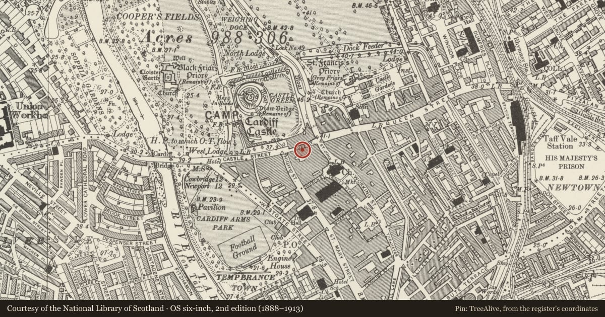
5 historical maps cover this location, the earliest the 1636 map "Cornubia : Devonia, Somersetus, Dorcestria, Wiltonia, Glocestria ..." (David Rumsey Map Collection, Stanford Libraries).
Historical maps covering this location
- 1636 · Cornubia : Devonia, Somersetus, Dorcestria, Wiltonia, Glocestria ... (David Rumsey Map Collection, Stanford Libraries)
- 1865 · England and Wales. England No. 6. (David Rumsey Map Collection, Stanford Libraries)
- 1895 · Sheet 11. Ordnance Survey of England and Wales. (David Rumsey Map Collection, Stanford Libraries)
- 1898 · 263 Cardiff (Hills) (David Rumsey Map Collection, Stanford Libraries)
- 1913 · Sheet 110. Cardiff & Mouth of the Severn. (David Rumsey Map Collection, Stanford Libraries)
Cadw's description
Location
Part of a mixed, continuous group facing the outer wall of Cardiff Castle; lower building on left adjoins the Duke Street Arcade.
Exterior
Three storey and attic early C19 Georgian terraced house with later shop under. Painted render, hipped front roof pitch with twin round headed dormers, gable parapets with brick stack to right. Two window front with checked back angles, simplified eaves cornice and blocking course, moulded cill and cornice band over 1st floor windows with moulded architraves and paterae brackets.
Good 1930s circled, bronze shop-front with traceried fanlights and panelled stall-risers. V-plan twin doorways with fluted surrounds recessed on left, second entry to right, all under overall fascia.
Long 2-storey extension along Crown Court to rear.
Reason for designation
A rare survivor from Georgian redevelopment of city, with good inter-war shopfront. Group value with adjacent listed buildings.
Nearby in the register
- CranesCommercialunder 1 mi
- Bella PastaCommercialunder 1 mi
- Duke Street Arcade, including 11 and 12 Duke StreetCommercialunder 1 mi
- High & MightyCommercialunder 1 mi
Other entries of the same register within about three miles of this one, by straight line.