Cof Cymru: National Historic Assets of Wales · Wales
School House
Penarth, Vale of Glamorgan, Wales
A Grade II listed building in Penarth, Vale of Glamorgan, designated on 19 November 1990.
The record
- Designation
- Listed building, Grade II
- Broad class
- Education
- Date of designation
- 19 November 1990
- Community
- Penarth
- Unitary authority
- Vale of Glamorgan
- Country
- Wales
- Coordinates
- 51.44147, -3.17224
- Cadw reference
- 13338
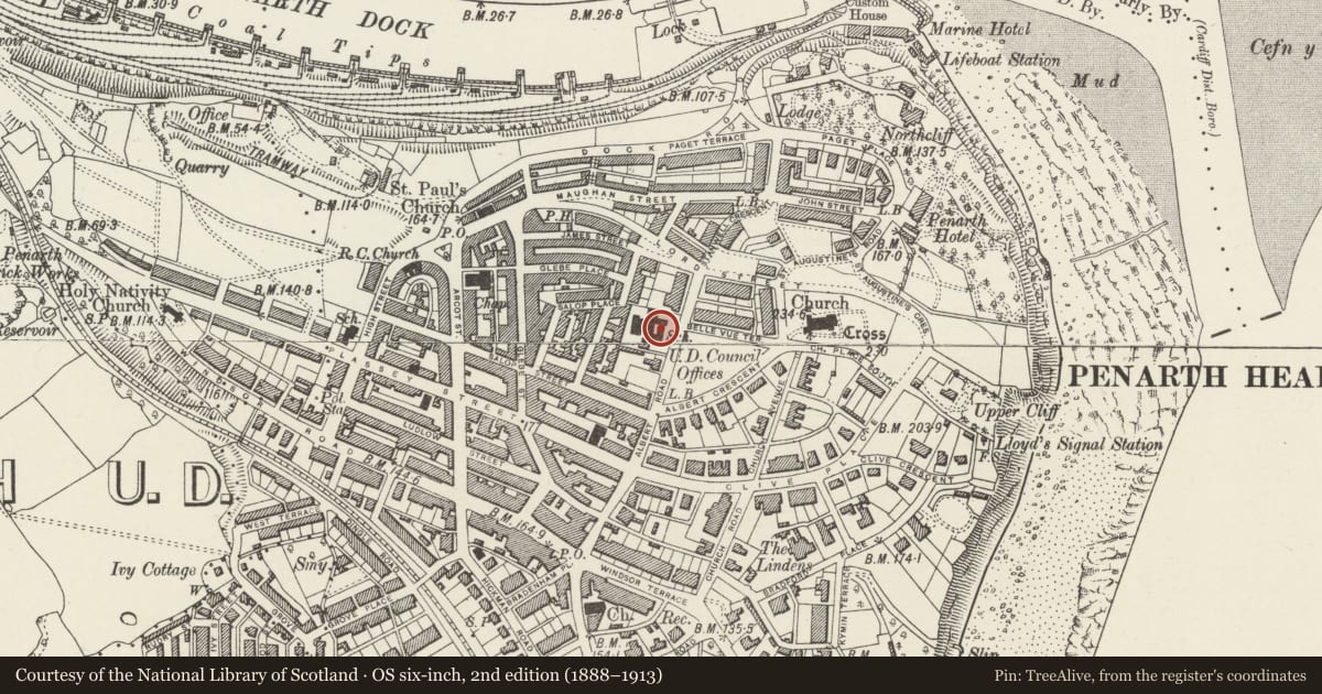
Slide toward Today to fade the historical sheet and see the modern map underneath.
David Rumsey Map Collection, Stanford LibrariesDavid Rumsey Map Collection, Stanford LibrariesDavid Rumsey Map Collection, Stanford LibrariesDavid Rumsey Map Collection, Stanford LibrariesDavid Rumsey Map Collection, Stanford Libraries
5 historical maps cover this location, the earliest the 1636 map "Cornubia : Devonia, Somersetus, Dorcestria, Wiltonia, Glocestria ..." (David Rumsey Map Collection, Stanford Libraries).
Historical maps covering this location
- 1636 · Cornubia : Devonia, Somersetus, Dorcestria, Wiltonia, Glocestria ... (David Rumsey Map Collection, Stanford Libraries)
- 1865 · England and Wales. England No. 6. (David Rumsey Map Collection, Stanford Libraries)
- 1895 · Sheet 11. Ordnance Survey of England and Wales. (David Rumsey Map Collection, Stanford Libraries)
- 1898 · 263 Cardiff (Hills) (David Rumsey Map Collection, Stanford Libraries)
- 1913 · Sheet 110. Cardiff & Mouth of the Severn. (David Rumsey Map Collection, Stanford Libraries)
Cadw's description
Location
Set in the slope opposite the top end of the public gardens. Stepped forecourt wall with gate piers.
History
First built in 1876 by Henry Harris in Tudor-Gothic style; greatly enlarged by J Coates Carter, the well-known architect of Penarth, in early C20 with some Classical detail.
Exterior
The front blocks are arranged as a U-shaped group with Boys and Girls Halls and classrooms separated by the central School House, set back behind front garden. Rubble construction, snecked to earlier work and coursed to enlargements; freestone dressings to windows and quoins. Tiled roofs, overhanging eaves and brick chimney stacks; square-pane glazing. The hall ranges, Boys uphill and Girls downhill have gables to the road and transverse wings with downhill gable ends; doorways to front in middle. Boys have 3-light square headed window with pilasters; Girls have Venetian type window with central keystone; rounded cills. Both gables have blue and white painted decoration, (by R Norton Nance of St Ives, designed by his wife), including fleur de lys, dragons and birds, on roughcast; some of the Girls' decoration is set in a reticulated pattern border. Below eaves to left of entrances are unusual inset painted panels depicting boys at work and girls doing exercises with dumb-bells. Similar downhill gable ends have simple painted decoration and 3-light windows; Girls have a further transverse wing stepped forward with twin gable end. Small clerestories to both roofs on both sides.
2-storey house with tall gable to advanced right hand bay; pointed arched lights with high transom to 1st floor below blind shield and relieving arch; paired cross-frame windows to ground floor with trefoil headed lights, small-pane to top. Hipped dormer roof over left hand 1st floor cross-frame window; lean-to below containing 3-light window and porch with segmental arched entry; shouldered doorway within.
At the rear there are single-storey school ranges relating to the earlier work and with similar trefoil headed lights; these are set within tall gables and with transom at eaves level.
Arched braced roof trusses to the later work.
Nearby in the register
- Albert Road County Infants SchoolEducationunder 1 mi
- Telephone Call-box on the edge of Albert Road GardensCommunicationsunder 1 mi
- Penarth Churchyard Cross (Now in St Augustine's Church)Crossunder 1 mi
- St Augustine's Parish ChurchReligious, Ritual and Funeraryunder 1 mi
Other entries of the same register within about three miles of this one, by straight line.