Cof Cymru: National Historic Assets of Wales · Wales
Woodstock House
Cowbridge with Llanblethian, Vale of Glamorgan, Wales
A Grade II listed building in Cowbridge, Cowbridge with Llanblethian, Vale of Glamorgan, designated on 5 December 1963.
The record
- Designation
- Listed building, Grade II
- Broad class
- Domestic
- Date of designation
- 5 December 1963
- Locality
- Cowbridge
- Community
- Cowbridge with Llanblethian
- Unitary authority
- Vale of Glamorgan
- Country
- Wales
- Coordinates
- 51.46270, -3.45113
- Cadw reference
- 13213
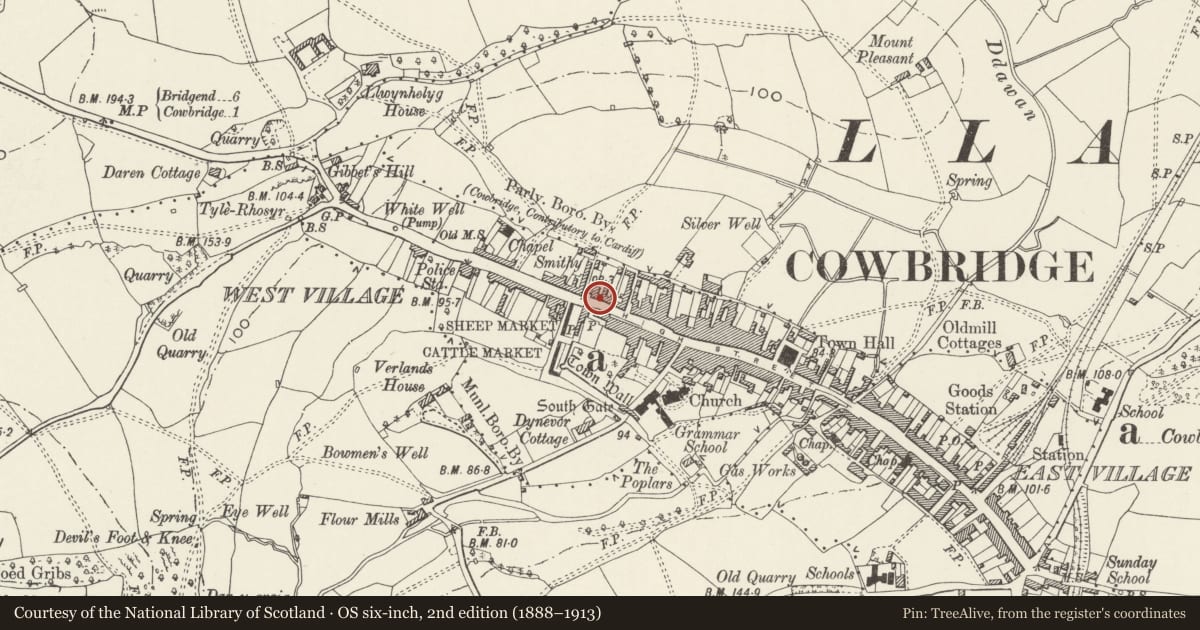
Slide toward Today to fade the historical sheet and see the modern map underneath.
David Rumsey Map Collection, Stanford LibrariesDavid Rumsey Map Collection, Stanford LibrariesDavid Rumsey Map Collection, Stanford LibrariesDavid Rumsey Map Collection, Stanford LibrariesDavid Rumsey Map Collection, Stanford Libraries
5 historical maps cover this location, the earliest the 1636 map "Cornubia : Devonia, Somersetus, Dorcestria, Wiltonia, Glocestria ..." (David Rumsey Map Collection, Stanford Libraries).
Historical maps covering this location
- 1636 · Cornubia : Devonia, Somersetus, Dorcestria, Wiltonia, Glocestria ... (David Rumsey Map Collection, Stanford Libraries)
- 1637 · The fourth table of England. Cornub. Devonia, Somerset etc. (David Rumsey Map Collection, Stanford Libraries)
- 1865 · England and Wales. England No. 6. (David Rumsey Map Collection, Stanford Libraries)
- 1897 · 262 Pontypridd (Hills) (David Rumsey Map Collection, Stanford Libraries)
- 1897 · 262 Pontypridd (Outline) (David Rumsey Map Collection, Stanford Libraries)
Cadw's description
Location
Opposite Mason's Arms; on corner with Eagle Lane.
History
Late C18. Formerly the town house of the Wyndham family. Recently restored.
Exterior
Three storeys. Five bay front elevation with painted modern render, rusticated ground floor, quoins, bands and rusticated window dressings with voussoirs. Slate roof with rendered end stacks. Sash windows without glazing bars and with horns, with smaller windows on second floor. Central Doric porch (restored); panelled door with overlight. Lower two-storey, two-bay wing in similar style to left hand, but set slightly back. Slate gabled roof with left hand gable stack with pebbledash cladding; sash windows without glazing bars. Front forecourt dwarf walls of stone; renewed iron railings. To rear, at right angles, wings with tall stone chimneys.
Interior
Interior has been converted to flats.
Reason for designation
C18 town house of the Wyndham family. Group value with adjacent listed buildings.
Nearby in the register
- 81 High StreetDomesticunder 1 mi
- NW Boundary Wall To No 83 High StreetDomesticunder 1 mi
- Llwyn CelynDomesticunder 1 mi
- 1 & 3 WestgateDomesticunder 1 mi
Other entries of the same register within about three miles of this one, by straight line.