Cof Cymru: National Historic Assets of Wales · Wales
Cannon House
St. Dogmaels, Pembrokeshire, Wales
A Grade II listed building in St. Dogmaels, Pembrokeshire, designated on 15 November 1993.
The record
- Designation
- Listed building, Grade II
- Broad class
- Domestic
- Date of designation
- 15 November 1993
- Community
- St. Dogmaels
- Unitary authority
- Pembrokeshire
- Country
- Wales
- Coordinates
- 52.08174, -4.68211
- Cadw reference
- 13095
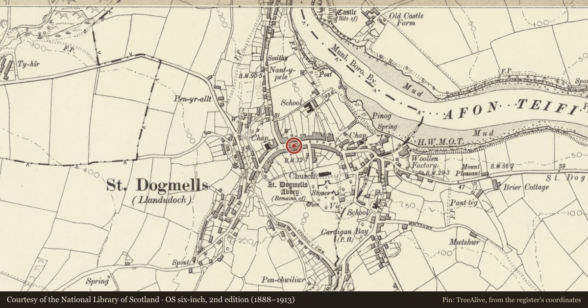
Slide toward Today to fade the historical sheet and see the modern map underneath.
David Rumsey Map Collection, Stanford LibrariesDavid Rumsey Map Collection, Stanford LibrariesDavid Rumsey Map Collection, Stanford LibrariesDavid Rumsey Map Collection, Stanford LibrariesDavid Rumsey Map Collection, Stanford Libraries
5 historical maps cover this location, the earliest the 1608 map "(13) Cambriae Typus." (David Rumsey Map Collection, Stanford Libraries).
Historical maps covering this location
- 1608 · (13) Cambriae Typus. (David Rumsey Map Collection, Stanford Libraries)
- 1637 · Particular description of Wales. Cambria seu Wallia (David Rumsey Map Collection, Stanford Libraries)
- 1830 · V.3:11-15:XV. Britisches Reich. A. Kon: England. b. Frstenthum Wales: Shire: 37-40 (David Rumsey Map Collection, Stanford Libraries)
- 1898 · 193 Cardigan (Hills) (David Rumsey Map Collection, Stanford Libraries)
- 1901 · Sheet 13. (David Rumsey Map Collection, Stanford Libraries)
Cadw's description
Location
Situated towards W end of terraced row running W from Church Lane.
Exterior
Later C19 terraced house, unpainted stucco, slate roof and banded stone E end stack. Bracketted eaves. Two storeys, three-window range of 12-pane sashes with rusticated surrounds and painted slate sills. Centre 4-panel door with traceried overlight in pilastered doorcase with corniced hood on brackets matching those at eaves. Rusticated angle quoins.
Area enclosed by concrete block rusticated wall with painted wood balustrade and ornate wooden gate.
Reason for designation
Included for its well-preserved character in a heavily altered terrace.
Nearby in the register
- TyrhedynDomesticunder 1 mi
- BrynivorDomesticunder 1 mi
- Church of Saint ThomasReligious, Ritual and Funeraryunder 1 mi
- Mount PleasantDomesticunder 1 mi
Other entries of the same register within about three miles of this one, by straight line.