Cof Cymru: National Historic Assets of Wales · Wales
Lychgate and Steps to Churchyard at St Thomas Church
St. Dogmaels, Pembrokeshire, Wales
A Grade II listed building in St. Dogmaels, Pembrokeshire, designated on 15 November 1993.
The record
- Designation
- Listed building, Grade II
- Broad class
- Religious, Ritual and Funerary
- Date of designation
- 15 November 1993
- Community
- St. Dogmaels
- Unitary authority
- Pembrokeshire
- Country
- Wales
- Coordinates
- 52.08105, -4.67979
- Cadw reference
- 13087
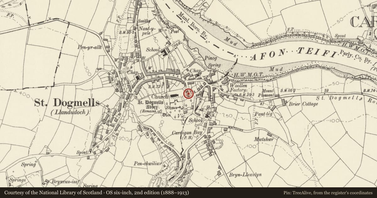
Slide toward Today to fade the historical sheet and see the modern map underneath.
David Rumsey Map Collection, Stanford LibrariesDavid Rumsey Map Collection, Stanford LibrariesDavid Rumsey Map Collection, Stanford LibrariesDavid Rumsey Map Collection, Stanford LibrariesDavid Rumsey Map Collection, Stanford Libraries
5 historical maps cover this location, the earliest the 1608 map "(13) Cambriae Typus." (David Rumsey Map Collection, Stanford Libraries).
Historical maps covering this location
- 1608 · (13) Cambriae Typus. (David Rumsey Map Collection, Stanford Libraries)
- 1637 · Particular description of Wales. Cambria seu Wallia (David Rumsey Map Collection, Stanford Libraries)
- 1830 · V.3:11-15:XV. Britisches Reich. A. Kon: England. b. Frstenthum Wales: Shire: 37-40 (David Rumsey Map Collection, Stanford Libraries)
- 1898 · 193 Cardigan (Hills) (David Rumsey Map Collection, Stanford Libraries)
- 1901 · Sheet 13. (David Rumsey Map Collection, Stanford Libraries)
Cadw's description
Location
Situated on E side of churchyard.
Exterior
Mid C19 lychgate in rubble stone with Bath stone ashlar dressings, coped gables and slate roof. Cross final to E and moulded round arch, plain chamfer to W side round arch.
Flight of 15 broad slate steps up from Church Street with plain iron rails. Spearhead iron rails and gates at foot.
Reason for designation
Included for group value.
Nearby in the register
- Former Bier House beside steps to LychgateDomesticunder 1 mi
- Church HouseDomesticunder 1 mi
- Wall along S side of ChurchyardReligious, Ritual and Funeraryunder 1 mi
- Y FelinIndustrialunder 1 mi
Other entries of the same register within about three miles of this one, by straight line.