Cof Cymru: National Historic Assets of Wales · Wales
Carriage-House at Rickeston Hall
Brawdy, Pembrokeshire, Wales
A Grade II listed building in Rickeston, Brawdy, Pembrokeshire, designated on 10 August 1993.
The record
- Designation
- Listed building, Grade II
- Broad class
- Domestic
- Date of designation
- 10 August 1993
- Locality
- Rickeston
- Community
- Brawdy
- Unitary authority
- Pembrokeshire
- Country
- Wales
- Coordinates
- 51.88573, -5.13017
- Cadw reference
- 13080
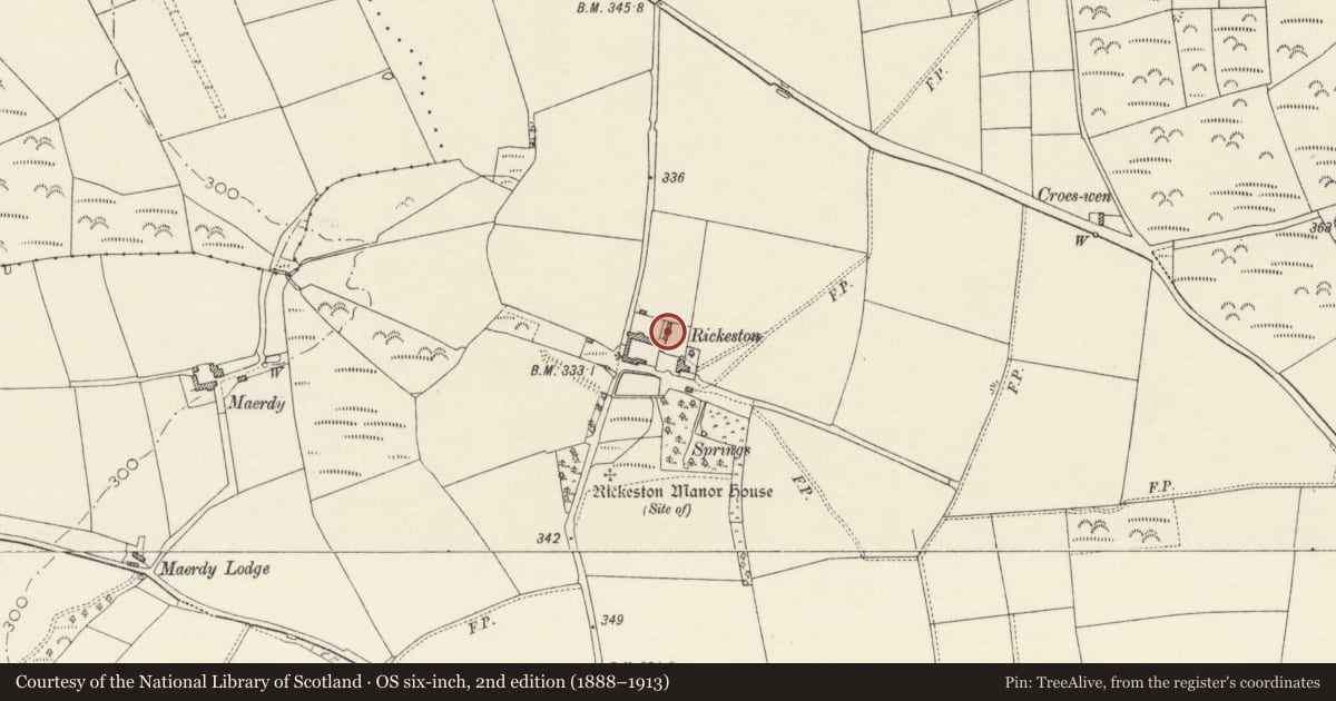
Slide toward Today to fade the historical sheet and see the modern map underneath.
David Rumsey Map Collection, Stanford LibrariesDavid Rumsey Map Collection, Stanford LibrariesDavid Rumsey Map Collection, Stanford LibrariesDavid Rumsey Map Collection, Stanford LibrariesDavid Rumsey Map Collection, Stanford Libraries
5 historical maps cover this location, the earliest the 1608 map "(13) Cambriae Typus." (David Rumsey Map Collection, Stanford Libraries).
Historical maps covering this location
- 1608 · (13) Cambriae Typus. (David Rumsey Map Collection, Stanford Libraries)
- 1636 · Cornubia : Devonia, Somersetus, Dorcestria, Wiltonia, Glocestria ... (David Rumsey Map Collection, Stanford Libraries)
- 1637 · Particular description of Wales. Cambria seu Wallia (David Rumsey Map Collection, Stanford Libraries)
- 1898 · 209 St David's (Hills) (David Rumsey Map Collection, Stanford Libraries)
- 1901 · Sheet 13. (David Rumsey Map Collection, Stanford Libraries)
Cadw's description
Location
Situated at NW angle of forecourt at Rickeston Hall, by entry to farmyard.
History
Rickeston Hall was built by Samuel Griffith (d. 1824); this building may be contemporary with the enlargement of the farmyard in 1880's.
Exterior
Later C19 carriage-house, rubble stone with quoins, hipped slate roof, with fishscale banding to front, and,unusually, cast-iron bridge flashings. Single storey with broad flattened arch in red brick to front and double ledged doors with strap hinges.
Attached to SW angle is gateway to farmyard with square piers and rough quartz caps. From SE angle the S wall of the walled garden runs E to the outside privy.
Reason for designation
Included for group value.
Nearby in the register
- Three-Seater Privy to N of Rickeston HallDomesticunder 1 mi
- Rickeston HallDomesticunder 1 mi
- U-Plan Farmhouse Ranges at Rickeston HallAgriculture and Subsistenceunder 1 mi
- Paran ChapelReligious, Ritual and Funeraryunder 1 mi
Other entries of the same register within about three miles of this one, by straight line.