Cof Cymru: National Historic Assets of Wales · Wales
Three walled enlosures at SE.Angle of churchyard of Church of St. Gwyndaf
Pencaer, Pembrokeshire, Wales
A Grade II listed building in Llanwnda, Pencaer, Pembrokeshire, designated on 14 July 1993.
The record
- Designation
- Listed building, Grade II
- Broad class
- Religious, Ritual and Funerary
- Date of designation
- 14 July 1993
- Locality
- Llanwnda
- Community
- Pencaer
- Unitary authority
- Pembrokeshire
- Country
- Wales
- Coordinates
- 52.01593, -5.01430
- Cadw reference
- 12981
Slide toward Today to fade the historical sheet and see the modern map underneath.
David Rumsey Map Collection, Stanford LibrariesDavid Rumsey Map Collection, Stanford LibrariesDavid Rumsey Map Collection, Stanford LibrariesDavid Rumsey Map Collection, Stanford LibrariesDavid Rumsey Map Collection, Stanford Libraries
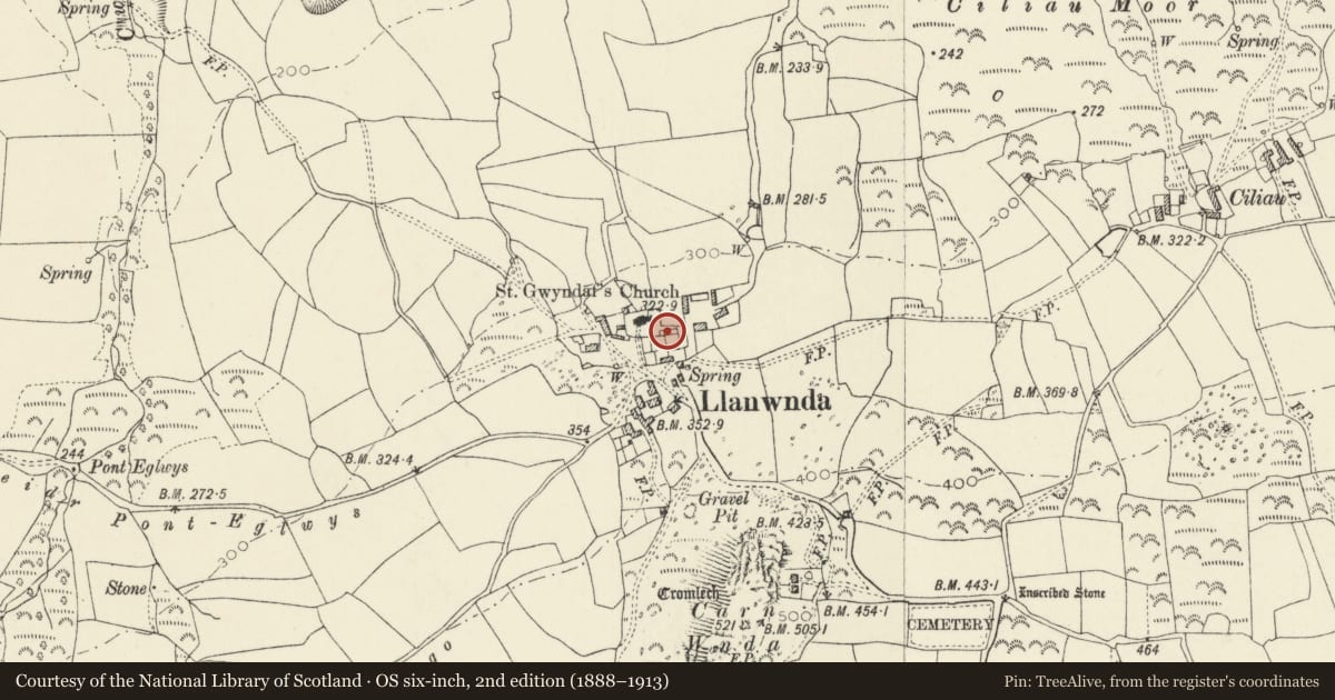
5 historical maps cover this location, the earliest the 1608 map "(13) Cambriae Typus." (David Rumsey Map Collection, Stanford Libraries).
Historical maps covering this location
- 1608 · (13) Cambriae Typus. (David Rumsey Map Collection, Stanford Libraries)
- 1891 · Sheet 10. Ordnance Survey of England and Wales. . (David Rumsey Map Collection, Stanford Libraries)
- 1898 · 210 Cardigan (Hills) (David Rumsey Map Collection, Stanford Libraries)
- 1898 · 210 Cardigan (Outline) (David Rumsey Map Collection, Stanford Libraries)
- 1901 · Sheet 13. (David Rumsey Map Collection, Stanford Libraries)
Cadw's description
Location
Situated in SE angle of churchyard.
History
Earlier C19 row of three high-walled burial enclosures,
Exterior
Rubble stone walls with openings on N side onto narrow path. First enclosure has centre entry with pyramid capped piers and iron gate. Memorials to Williams family from 1833. Second enclosure contains memorials to Mortimers of Trehowel and Llanwnwr from 1851; and the third to Harries of Penrhiw from 1865.
Reason for designation
Apparently a rare feature of W Wales churchyards, a similar single enclosure exists, damaged, at Cilgwyn, Nevern.
Group value with church.
Nearby in the register
- Church of St GwyndafReligious, Ritual and Funeraryunder 1 mi
- CartrefDomesticunder 1 mi
- Carn Wnda Burial ChamberChambered Tombunder 1 mi
- Parc Hen Standing StoneStanding Stoneunder 1 mi
Other entries of the same register within about three miles of this one, by straight line.