Cof Cymru: National Historic Assets of Wales · Wales
One of 28 Bollards Flanking Entrance Lock
Milford Haven, Pembrokeshire, Wales
A Grade II listed building in The Docks, Milford Haven, Pembrokeshire, designated on 20 August 1975.
The record
- Designation
- Listed building, Grade II
- Broad class
- Gardens, Parks and Urban Spaces
- Date of designation
- 20 August 1975
- Locality
- The Docks
- Community
- Milford Haven
- Unitary authority
- Pembrokeshire
- Country
- Wales
- Coordinates
- 51.70969, -5.03893
- Cadw reference
- 12857
Slide toward Today to fade the historical sheet and see the modern map underneath.
David Rumsey Map Collection, Stanford LibrariesDavid Rumsey Map Collection, Stanford LibrariesDavid Rumsey Map Collection, Stanford LibrariesDavid Rumsey Map Collection, Stanford LibrariesDavid Rumsey Map Collection, Stanford Libraries
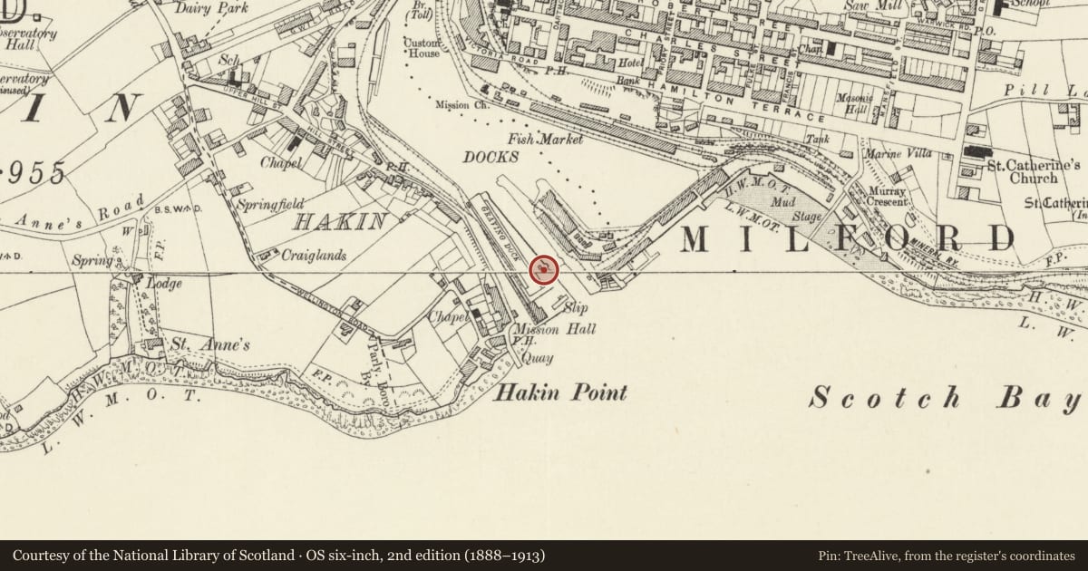
5 historical maps cover this location, the earliest the 1636 map "Cornubia : Devonia, Somersetus, Dorcestria, Wiltonia, Glocestria ..." (David Rumsey Map Collection, Stanford Libraries).
Historical maps covering this location
- 1636 · Cornubia : Devonia, Somersetus, Dorcestria, Wiltonia, Glocestria ... (David Rumsey Map Collection, Stanford Libraries)
- 1865 · England and Wales. England No. 6. (David Rumsey Map Collection, Stanford Libraries)
- 1898 · 227 Milford (Outline) (David Rumsey Map Collection, Stanford Libraries)
- 1898 · 227 Milford (Hills) (David Rumsey Map Collection, Stanford Libraries)
- 1901 · Sheet 13. (David Rumsey Map Collection, Stanford Libraries)
Cadw's description
Location
Situated down both sides of the entrance lock to Milford Docks, l4 each side.
History
Installed for the final opening of Milford Docks, built l874-88.
Exterior
l888 cast iron bollards, cannon-shape with cylindrical shafts and one neck ring. Square bases intended to be buried. Round top plate is inscribed the 'Butterley Company l888.'
Reason for designation
Included as a group; group value with other listed items on adjoining quaysides to Milford Docks.
Nearby in the register
- One of 28 Bollards Flanking Entrance LockGardens, Parks and Urban Spacesunder 1 mi
- One of 28 Bollards Flanking Entrance LockGardens, Parks and Urban Spacesunder 1 mi
- One of 5 Capstans adjoining Gates to Entrance LockTransportunder 1 mi
- One of 28 Bollards Flanking Entrance LockGardens, Parks and Urban Spacesunder 1 mi
Other entries of the same register within about three miles of this one, by straight line.